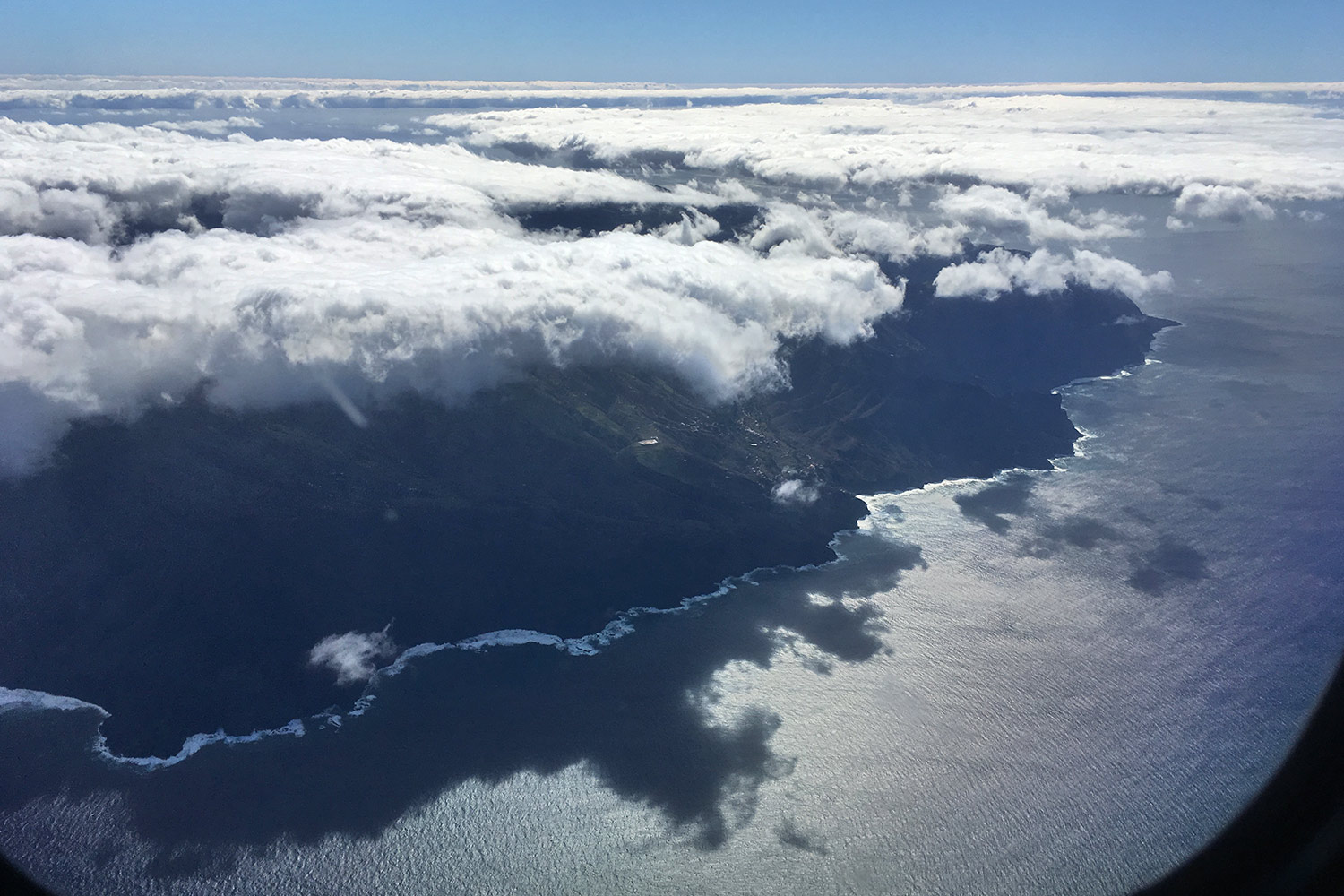
Alojera auf La Gomera aus dem Flugzeug . Teneriffa . Kanarische Inseln 2018 (Foto: Manuela Hahnebach)
Der Rückflug von El Hierro ging nach rund 20 Minuten an unserem nächsten Ziel vorbei (leider): La Gomera: in der Mitte das Tal von Alojera im Westen der Insel (Foto: Manuela Hahnebach)
Alojera auf La Gomera aus dem Flugzeug . Teneriffa . Kanarische Inseln 2018 (Foto: Manuela Hahnebach)
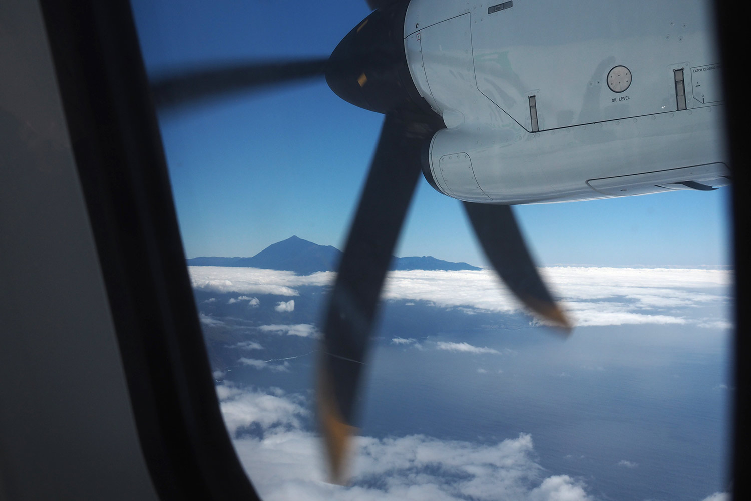
Teide aus dem Flugzeug . Teneriffa . Kanarische Inseln 2018 (Foto: Manuela Hahnebach)
Wir brauchten aber noch einen halben Tag nach la Gomera, weil das Flugzeug erst mal nach Teneriffa fliegt... (Foto: Manuela Hahnebach)
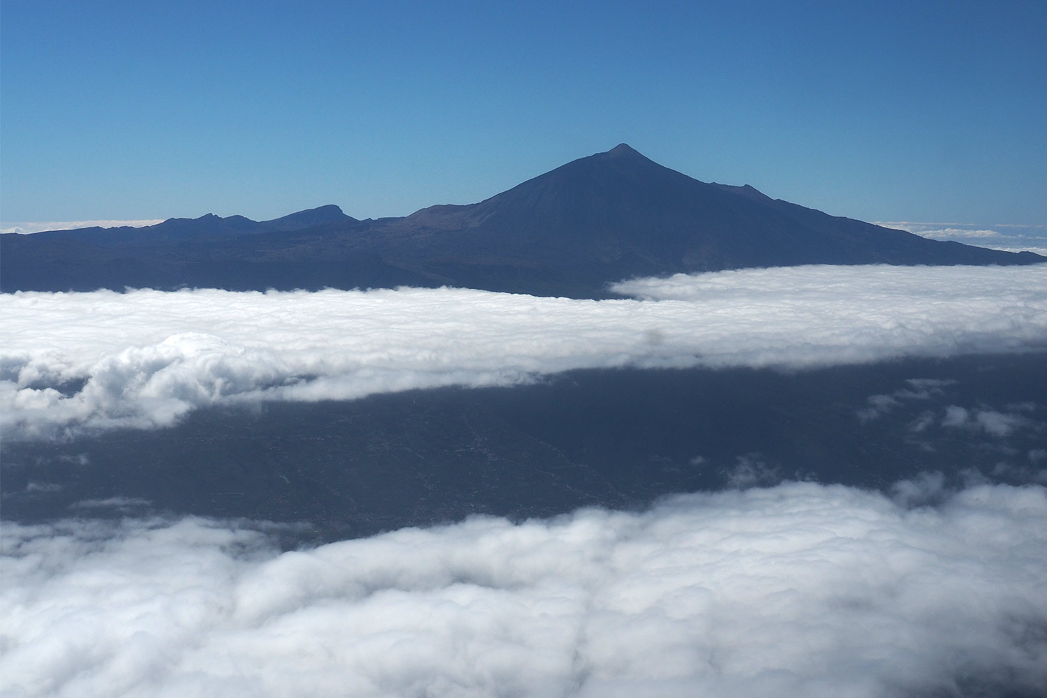
Teide aus dem Flugzeug . Teneriffa . Kanarische Inseln 2018 (Foto: Manuela Hahnebach)
wieder auf Augenhöhe um den Teide herum... (Foto: Manuela Hahnebach)
Teide aus dem Flugzeug . Teneriffa . Kanarische Inseln 2018 (Foto: Manuela Hahnebach)
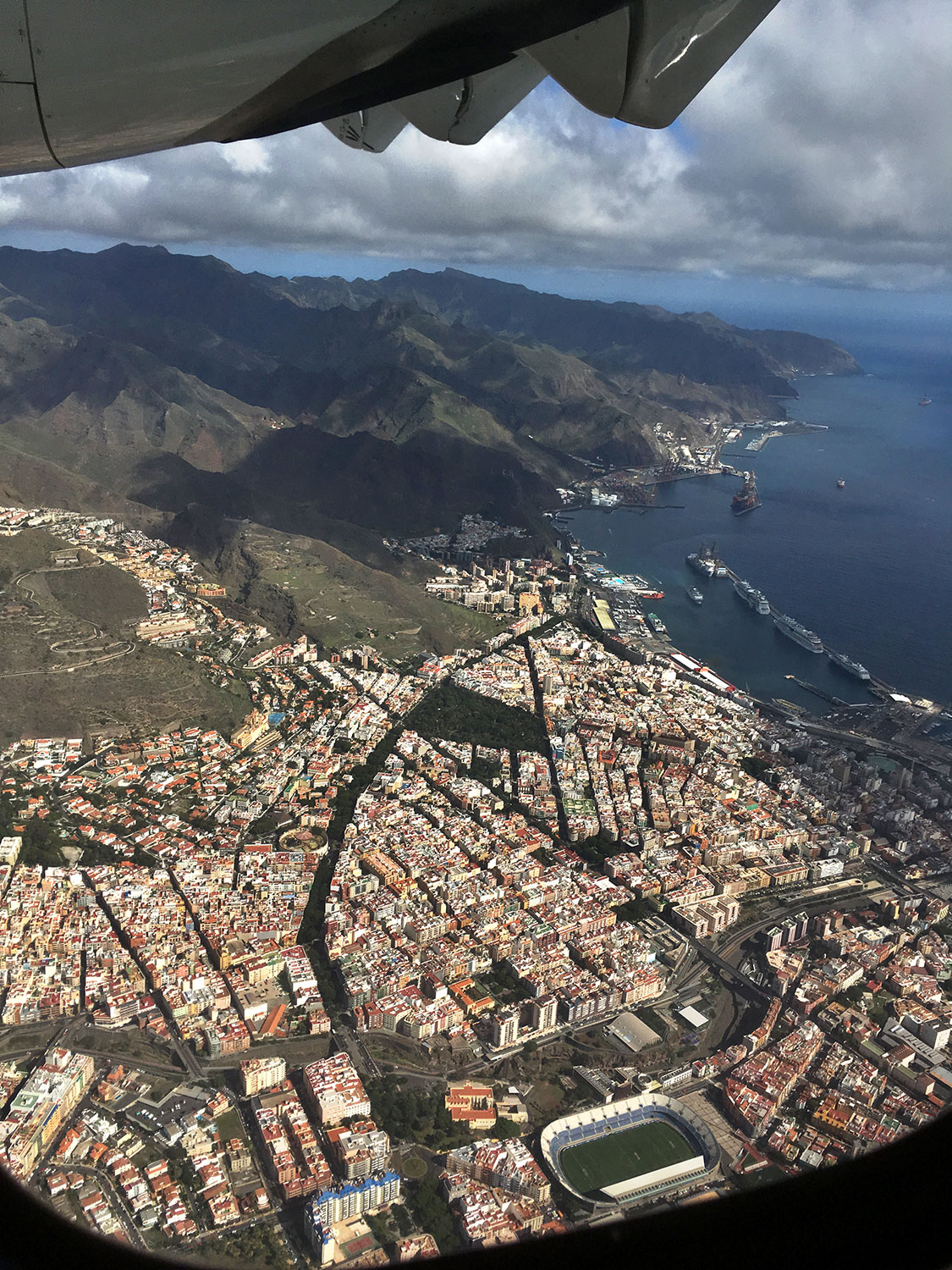
Santa Cruz de Tenerife aus dem Flugzeug . Teneriffa . Kanarische Inseln 2018 (Foto: Manuela Hahnebach)
über die Hauptstadt Santa Cruz de Tenerife nach La Laguna (Foto: Manuela Hahnebach)
Santa Cruz de Tenerife aus dem Flugzeug . Teneriffa . Kanarische Inseln 2018 (Foto: Manuela Hahnebach)
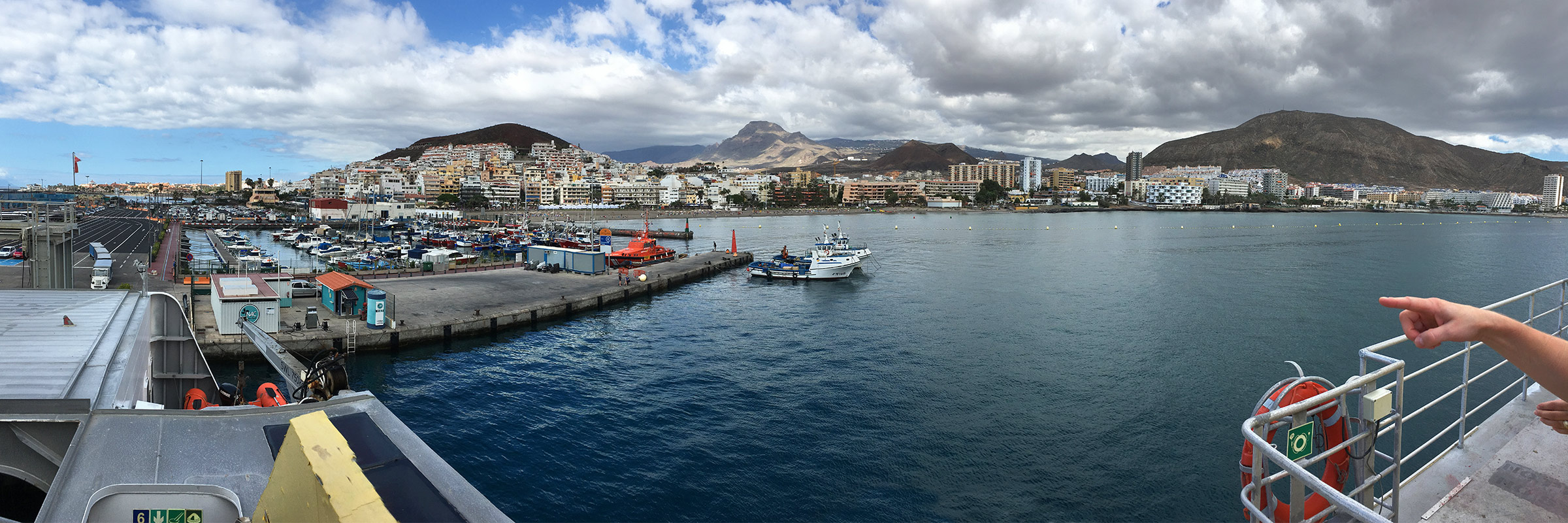
Los Cristianos: Hafen . Teneriffa . Kanarische Inseln 2018 (Foto: Manuela Hahnebach)
Von La Laguna im Nordosten von Teneriffa braucht man einen schnellen Transport nach Los Cristianos im Südwesten... (Foto: Manuela Hahnebach)
Los Cristianos: Hafen . Teneriffa . Kanarische Inseln 2018 (Foto: Manuela Hahnebach)
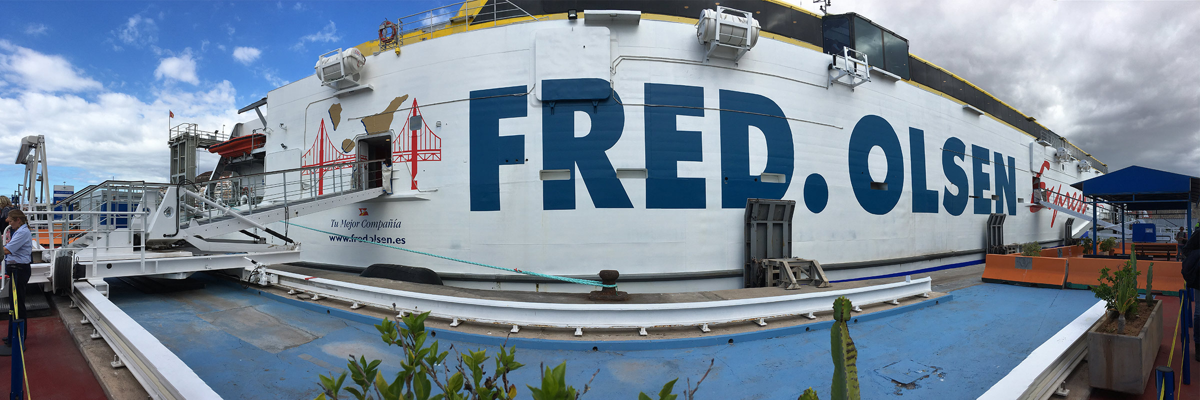
Los Cristianos: Fähre Benchijigua . Teneriffa . Kanarische Inseln 2018 (Foto: Manuela Hahnebach)
wo die Fähre "Benchijigua Express" 1,5 Stunden später nach La Gomera abgeht (Foto: Manuela Hahnebach)
Los Cristianos: Fähre Benchijigua . Teneriffa . Kanarische Inseln 2018 (Foto: Manuela Hahnebach)
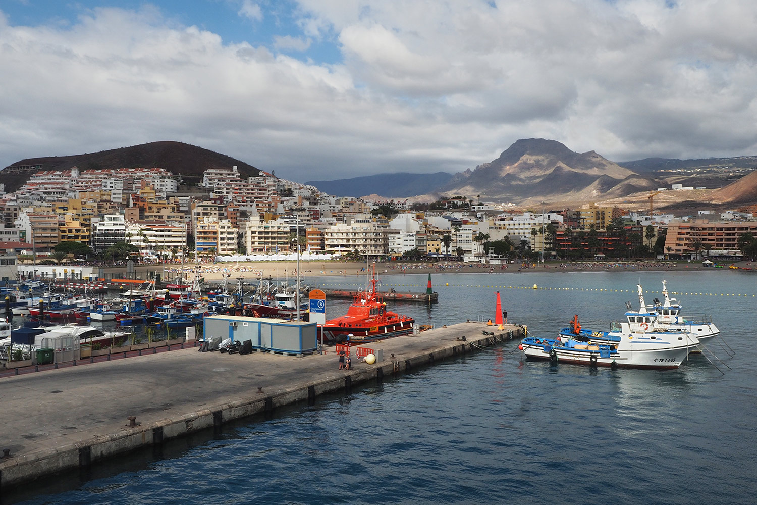
Los Cristianos: Hafen . Teneriffa . Kanarische Inseln 2018 (Foto: Andreas Kuhrt)
Los Cristianos war ursprünglich ein kleiner Fischerort... (Foto: Andreas Kuhrt)
Los Cristianos: Hafen . Teneriffa . Kanarische Inseln 2018 (Foto: Andreas Kuhrt)
Fähre Von Los Cristianos (Teneriffa) nach San Sebastian (La Gomera) . Kanarische Inseln 2018 (Foto: Andreas Kuhrt)
und ist jetzt zusammen mit Playa de las Americas und Costa Adeje der Tourismusmoloch im Süden Teneriffas mit einer Unmenge Hotels und Apartments (Foto: Andreas Kuhrt)
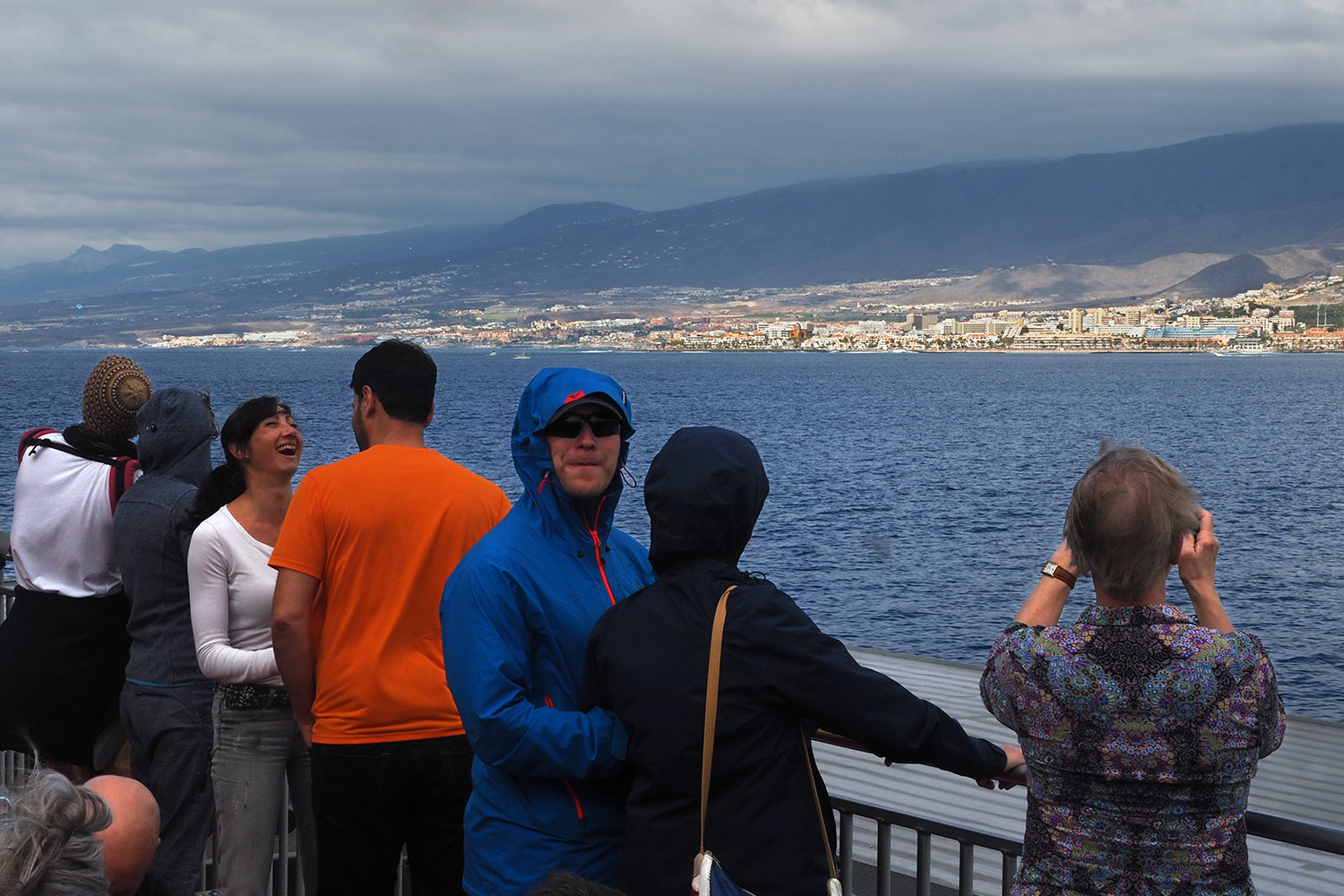
Fähre Von Los Cristianos (Teneriffa) nach San Sebastian (La Gomera) . Kanarische Inseln 2018 (Foto: Andreas Kuhrt)
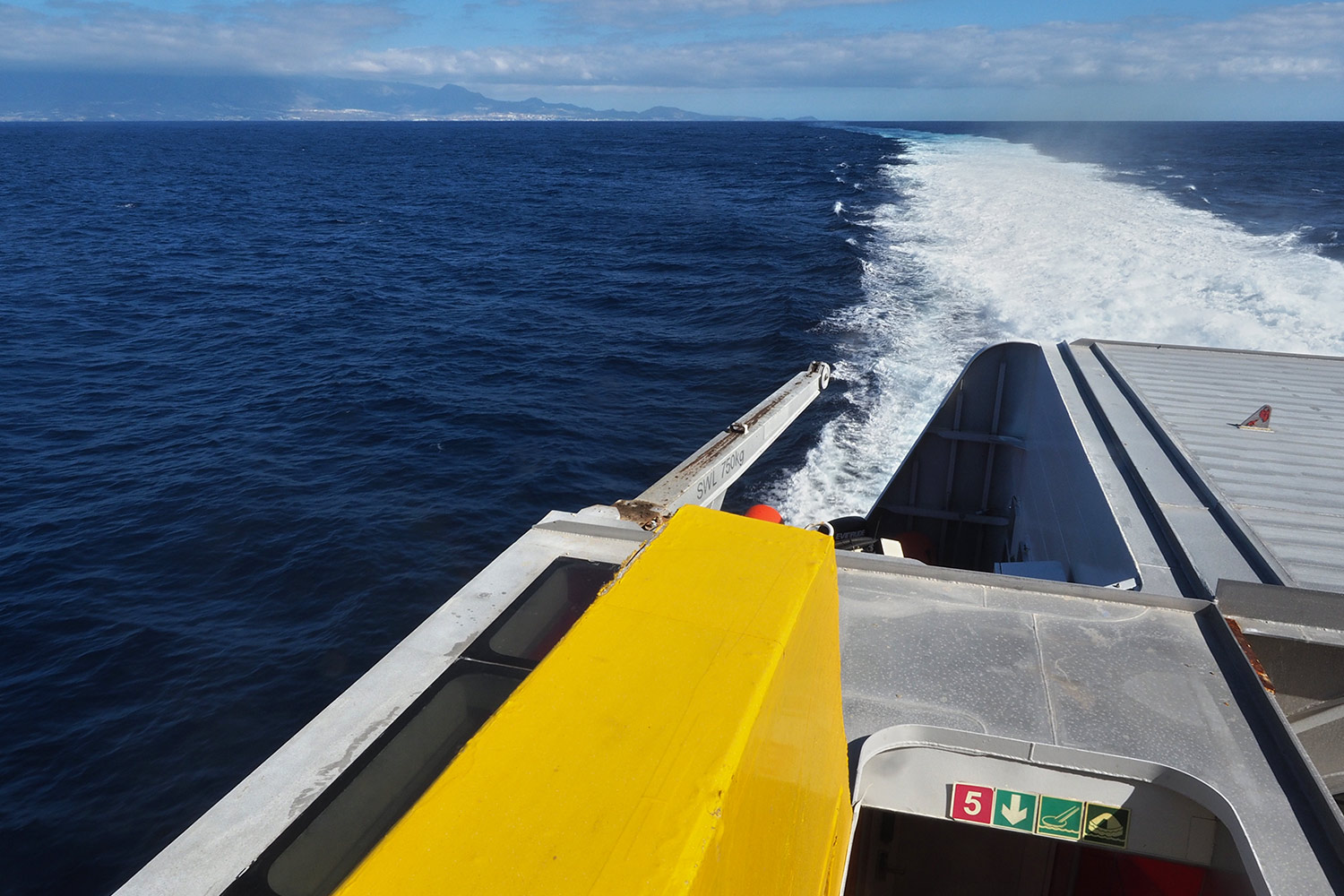
Von Los Cristianos braucht die wasserstrahlgetriebene Trimaran-Schnellfähre "Benchijigua Express" (mögliche Höchstgeschwindigkeit 40,5 kn = 75 km/h) der Reederei Fred. Olsen knapp 1 Stunde für die etwa 40-km-Überfahrt... (Foto: Andreas Kuhrt)
Fähre Von Los Cristianos (Teneriffa) nach San Sebastian (La Gomera) . Kanarische Inseln 2018 (Foto: Andreas Kuhrt)
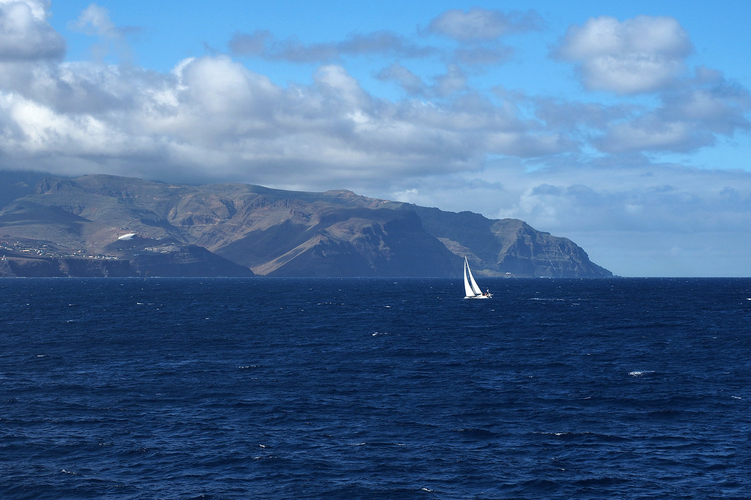
Vor San Sebastian . La Gomera . Kanarische Inseln 2018 (Foto: Andreas Kuhrt)
nach La Gomera... (Foto: Andreas Kuhrt)
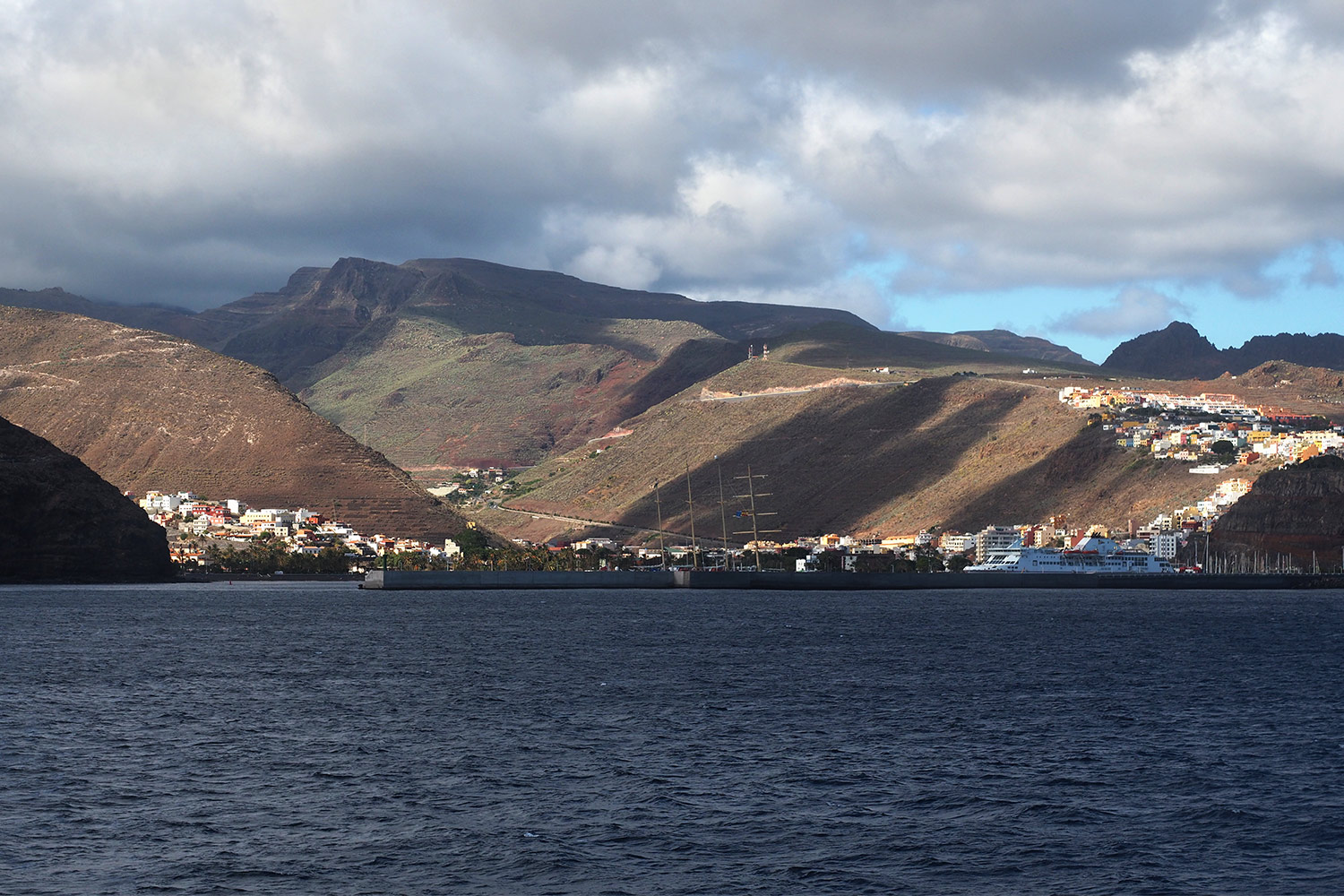
Vor San Sebastian . La Gomera . Kanarische Inseln 2018 (Foto: Andreas Kuhrt)
zur Inselhauptstadt San Sebastián de la Gomera (Foto: Andreas Kuhrt)
Vor San Sebastian . La Gomera . Kanarische Inseln 2018 (Foto: Andreas Kuhrt)
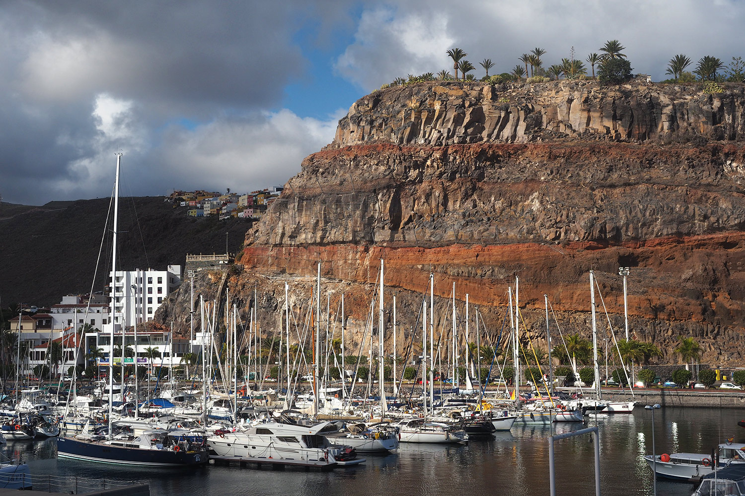
San Sebastian: Hafen . La Gomera . Kanarische Inseln 2018 (Foto: Andreas Kuhrt)
Im kleinen idyllischen Hafen von San Sebastian... (Foto: Andreas Kuhrt)
San Sebastian: Hafen . La Gomera . Kanarische Inseln 2018 (Foto: Andreas Kuhrt)
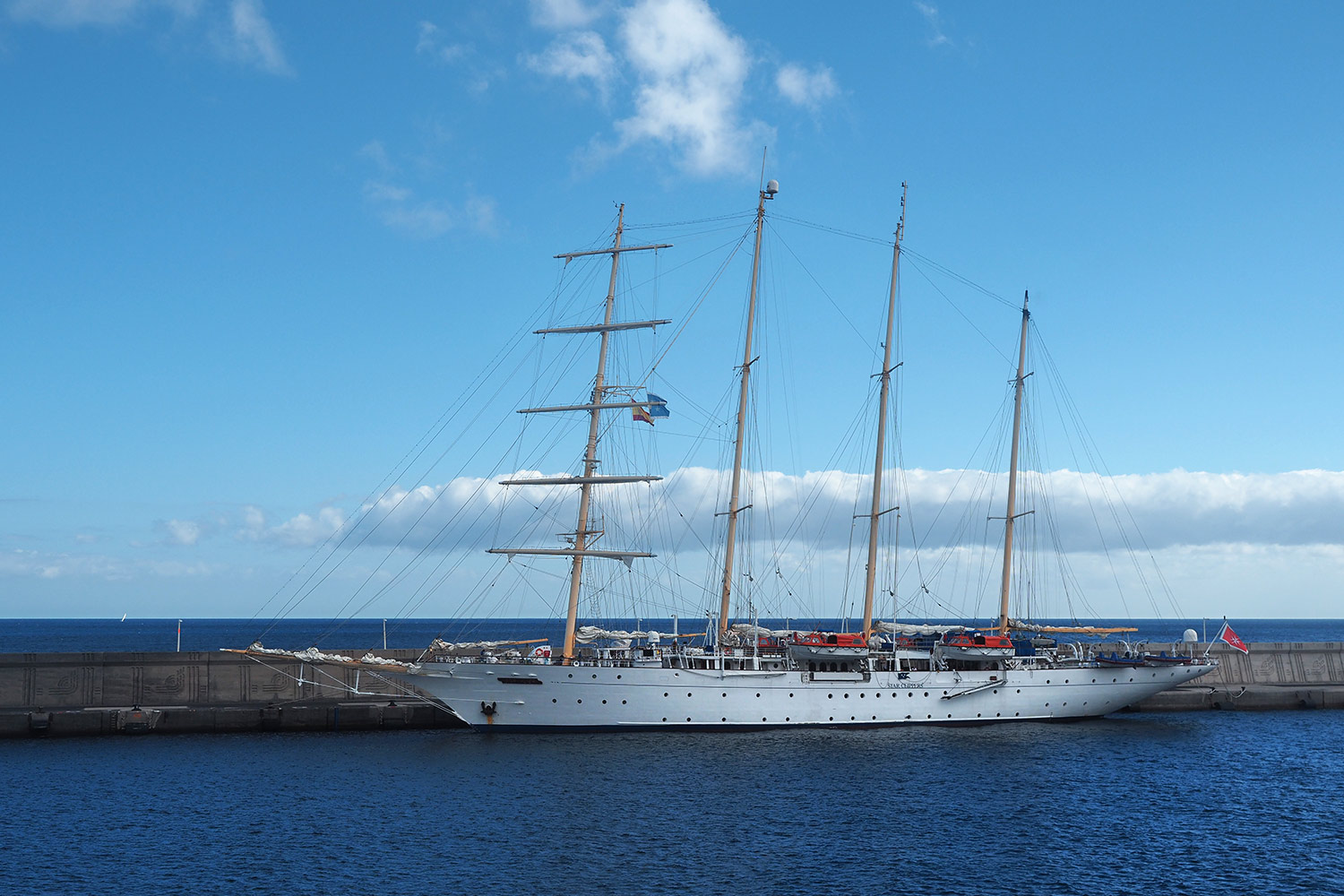
"Star Clipper" im Hafen von San Sebastian . La Gomera . Kanarische Inseln 2018 (Foto: Andreas Kuhrt)
konnte man die Luxus-Segelkreuzfahrtyacht "Star Clipper" bewundern (Foto: Andreas Kuhrt)
"Star Clipper" im Hafen von San Sebastian . La Gomera . Kanarische Inseln 2018 (Foto: Andreas Kuhrt)
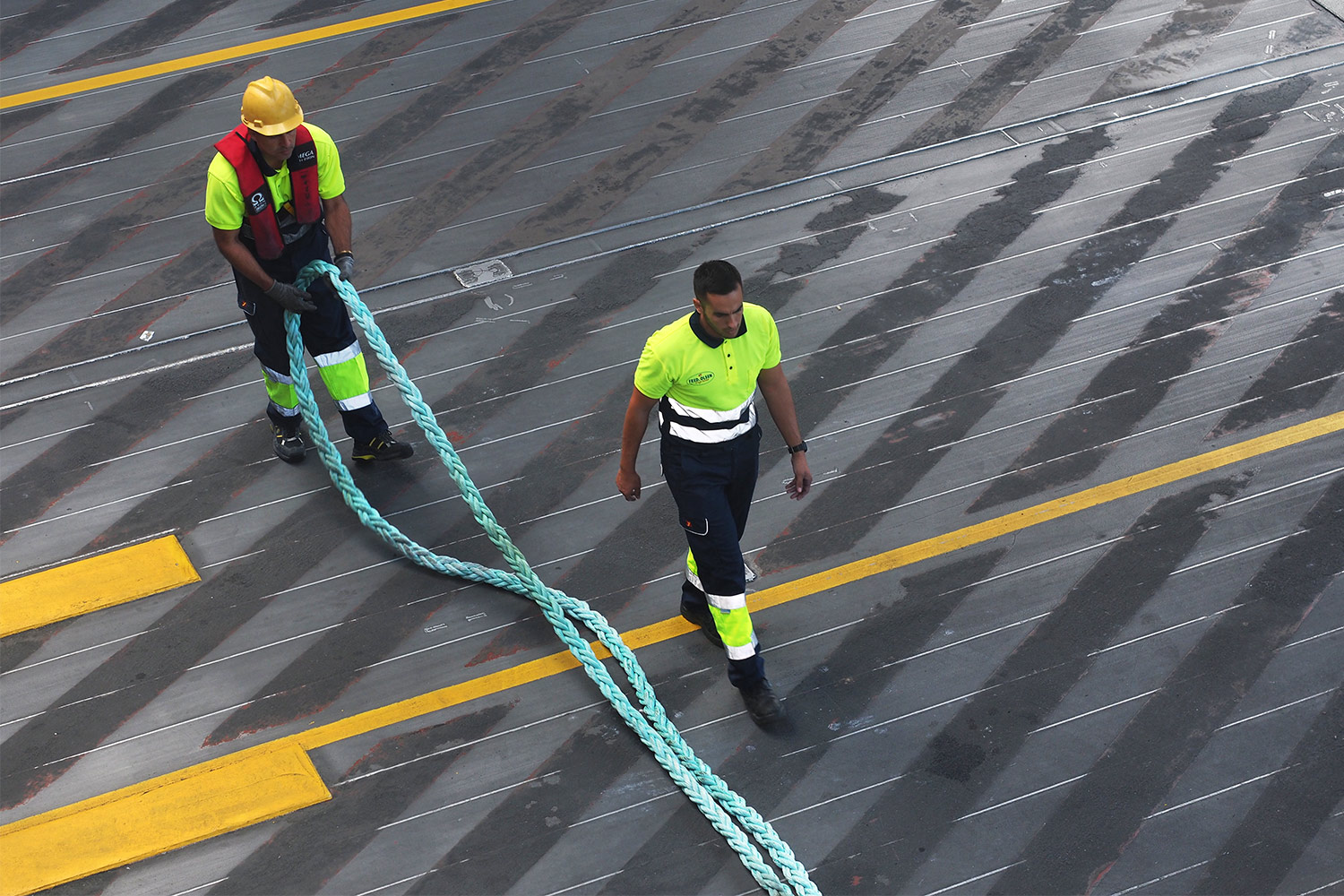
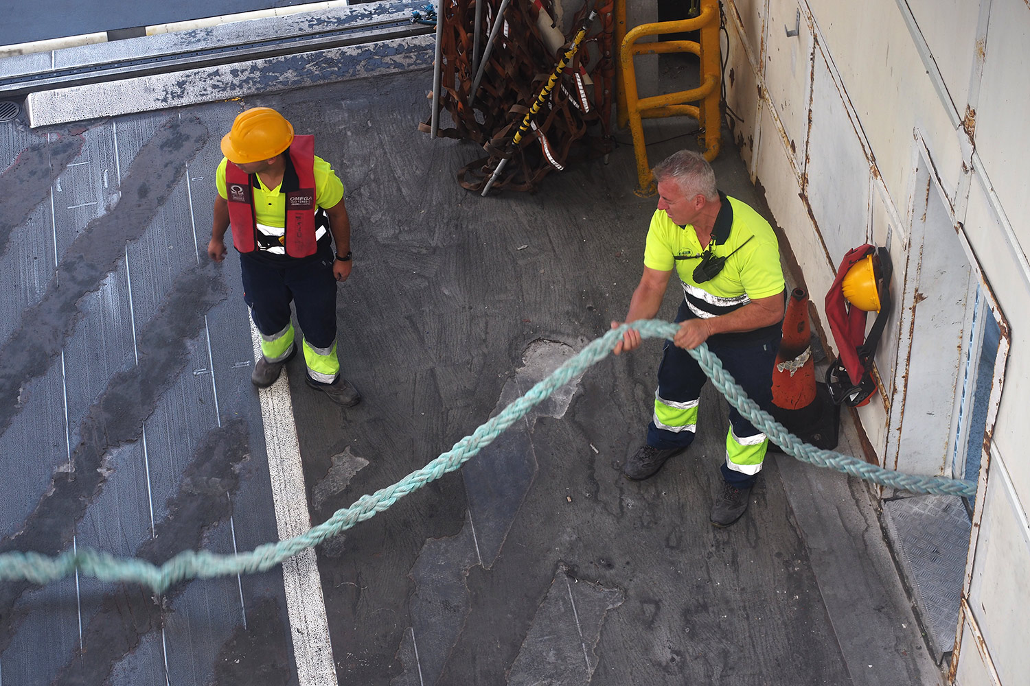
Festmacher im Hafen von San Sebastian . La Gomera . Kanarische Inseln 2018 (Foto: Andreas Kuhrt)
Schiffsfestmacher im Hafen von San Sebastián de la Gomera (Foto: Andreas Kuhrt)
Festmacher im Hafen von San Sebastian . La Gomera . Kanarische Inseln 2018 (Foto: Andreas Kuhrt)
Die Trosse muss noch ein wenig entwickelt werden (Foto: Andreas Kuhrt)
Festmacher im Hafen von San Sebastian . La Gomera . Kanarische Inseln 2018 (Foto: Andreas Kuhrt)
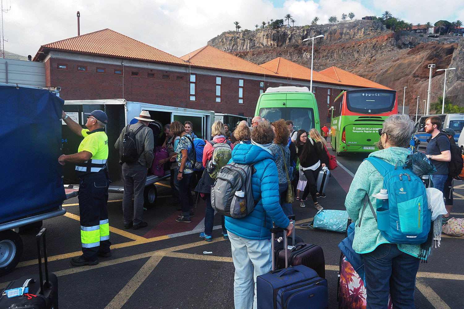
San Sebastian: Ankunft im Hafen . La Gomera . Kanarische Inseln 2018 (Foto: Andreas Kuhrt)
So eine Hafenankunft ist kein Kinderspiel: als Erstes stürzen sich alle Passagiere (bis 1300 passen aufs Schiff) auf ihr Gepäck, das in extra Transportwagen aufgegeben wurde (Foto: Andreas Kuhrt)
San Sebastian: Ankunft im Hafen . La Gomera . Kanarische Inseln 2018 (Foto: Andreas Kuhrt)
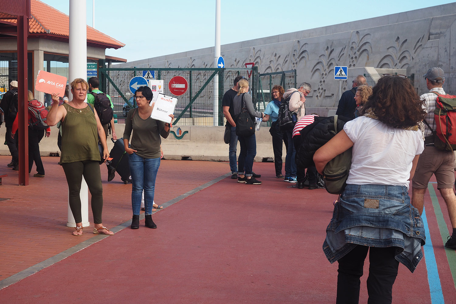
Als nächstes wird nach dem Reiseveranstalter und dem richtigen Bus gesucht oder um die Spitzenposition beim Mietwagenbüro gekämpft, wir konnten aber entspannt unser Mietauto übernehmen (eines eher kleinen Autoverleihers)... (Foto: Andreas Kuhrt)
San Sebastian: Ankunft im Hafen . La Gomera . Kanarische Inseln 2018 (Foto: Andreas Kuhrt)
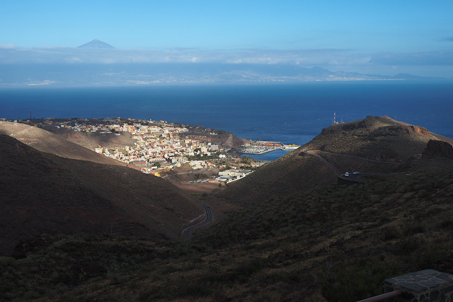
Mirador Lomada del Camello: Blick nach San Sebastian . La Gomera . Kanarische Inseln 2018 (Foto: Andreas Kuhrt)
und Richtung Valle Gran Rey fahren: am Mirador Lomada del Camello (Kamelhöcker) hat man noch mal einen tollen Blick zurück über San Sebastián bis nach Teneriffa (Foto: Andreas Kuhrt)
Mirador Lomada del Camello: Blick nach San Sebastian . La Gomera . Kanarische Inseln 2018 (Foto: Andreas Kuhrt)
Mirador de la Curva del Queso: Valle Gran Rey . La Gomera . Kanarische Inseln 2018 (Foto: Manuela Hahnebach)
Blick vom Mirador de la Curva del Queso (Käsekurve) ins grüne Valle Gran Rey (Tal des Großen Königs Hupalupa): der touristische "Hot Spot" Gomeras (nur ca. 20 km westlich von San Sebastián, aber rund 50 Straßenkilometer über endlose Serpentinen durchs Hochland) (Foto: Manuela Hahnebach)
Mirador de la Curva del Queso: Valle Gran Rey . La Gomera . Kanarische Inseln 2018 (Foto: Manuela Hahnebach)
Mirador Mirador de la Curva del Queso: Blick ins Valle Gran Rey . La Gomera . Kanarische Inseln 2018 (Foto: Andreas Kuhrt)
Vorn am Ausgang des Tals liegt rechts am Hang der Ort La Calera, in dem wir eine Unterkunft hatten... (Foto: Andreas Kuhrt)
Mirador Mirador de la Curva del Queso: Blick ins Valle Gran Rey . La Gomera . Kanarische Inseln 2018 (Foto: Andreas Kuhrt)
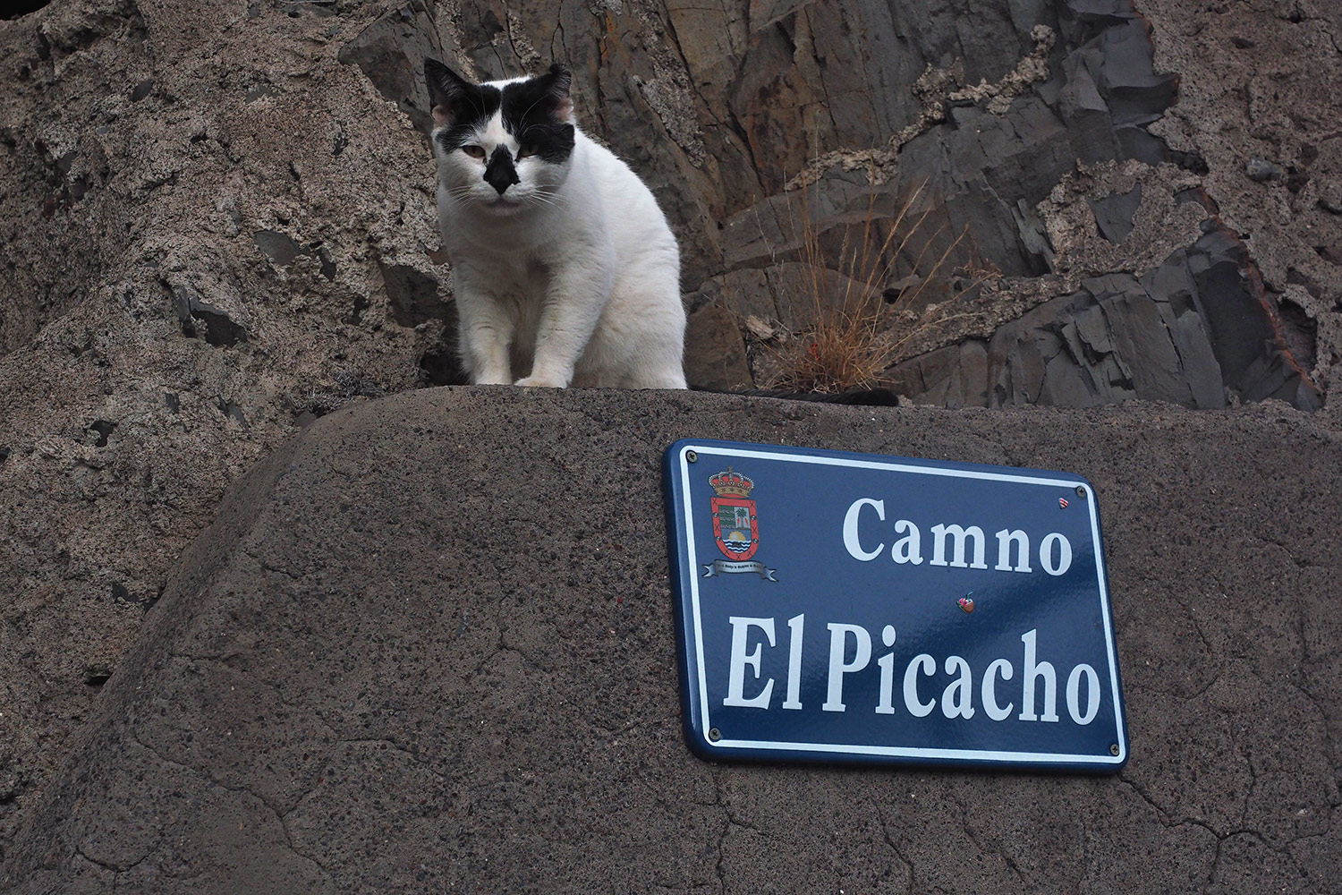
La Calera: Camino El Picacho . Valle Gran Rey . La Gomera . Kanarische Inseln 2018 (Foto: Andreas Kuhrt)
bewacht von einem Stubentiger: Camino/Callejón El Picacho: unser Treppenaufstieg mit rund 100 Stufen... (Foto: Andreas Kuhrt)
La Calera: Camino El Picacho . Valle Gran Rey . La Gomera . Kanarische Inseln 2018 (Foto: Andreas Kuhrt)
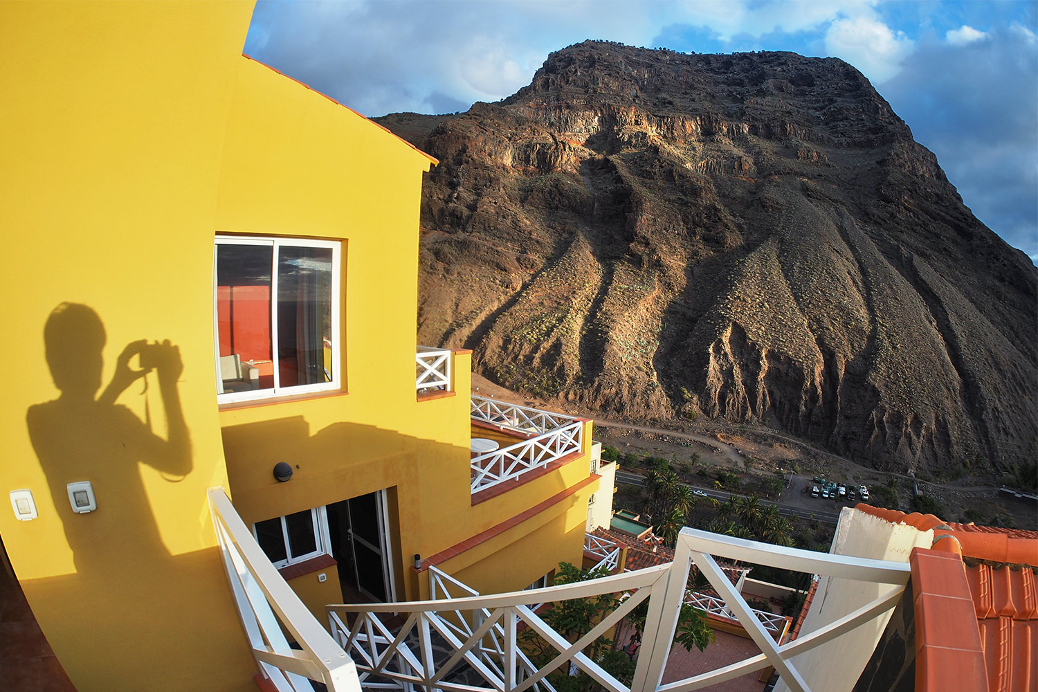
La Calera: Casa "Buena Vista" . Valle Gran Rey . La Gomera . Kanarische Inseln 2018 (Foto: Andreas Kuhrt)
zur Casa "Buena Vista" (Schöne Aussicht)... (Foto: Andreas Kuhrt)
La Calera: Casa "Buena Vista" . Valle Gran Rey . La Gomera . Kanarische Inseln 2018 (Foto: Andreas Kuhrt)
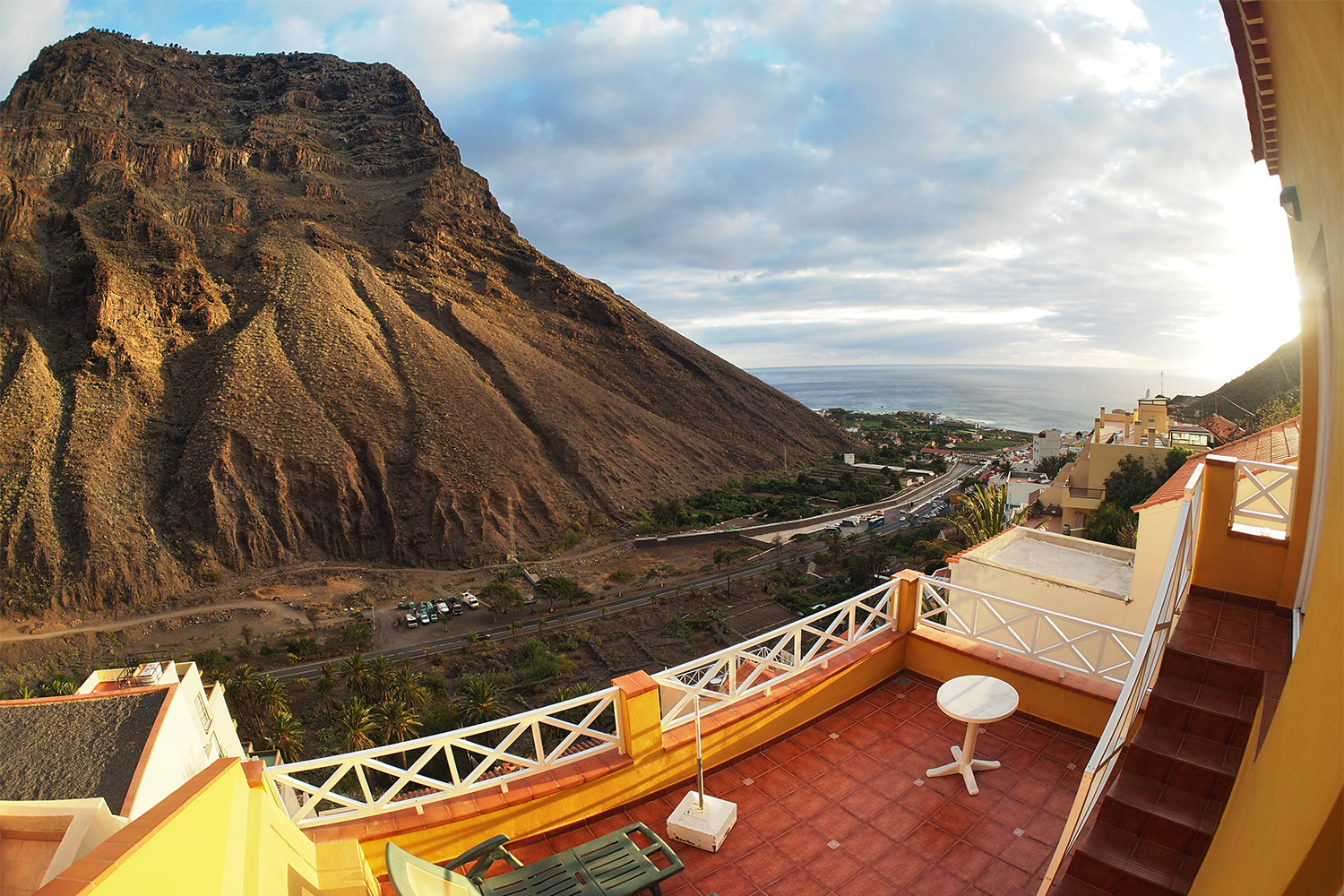
die ihrem Namen alle Ehre machte: am Talausgang des Valle Gran Rey oben an der Mérica-Bergflanke mit Blick auf die Küstenebene (aber nicht zu nah an den Strandhotels und Flaniermeilen der Badeorte) (Foto: Andreas Kuhrt)
La Calera: Casa "Buena Vista" . Valle Gran Rey . La Gomera . Kanarische Inseln 2018 (Foto: Andreas Kuhrt)
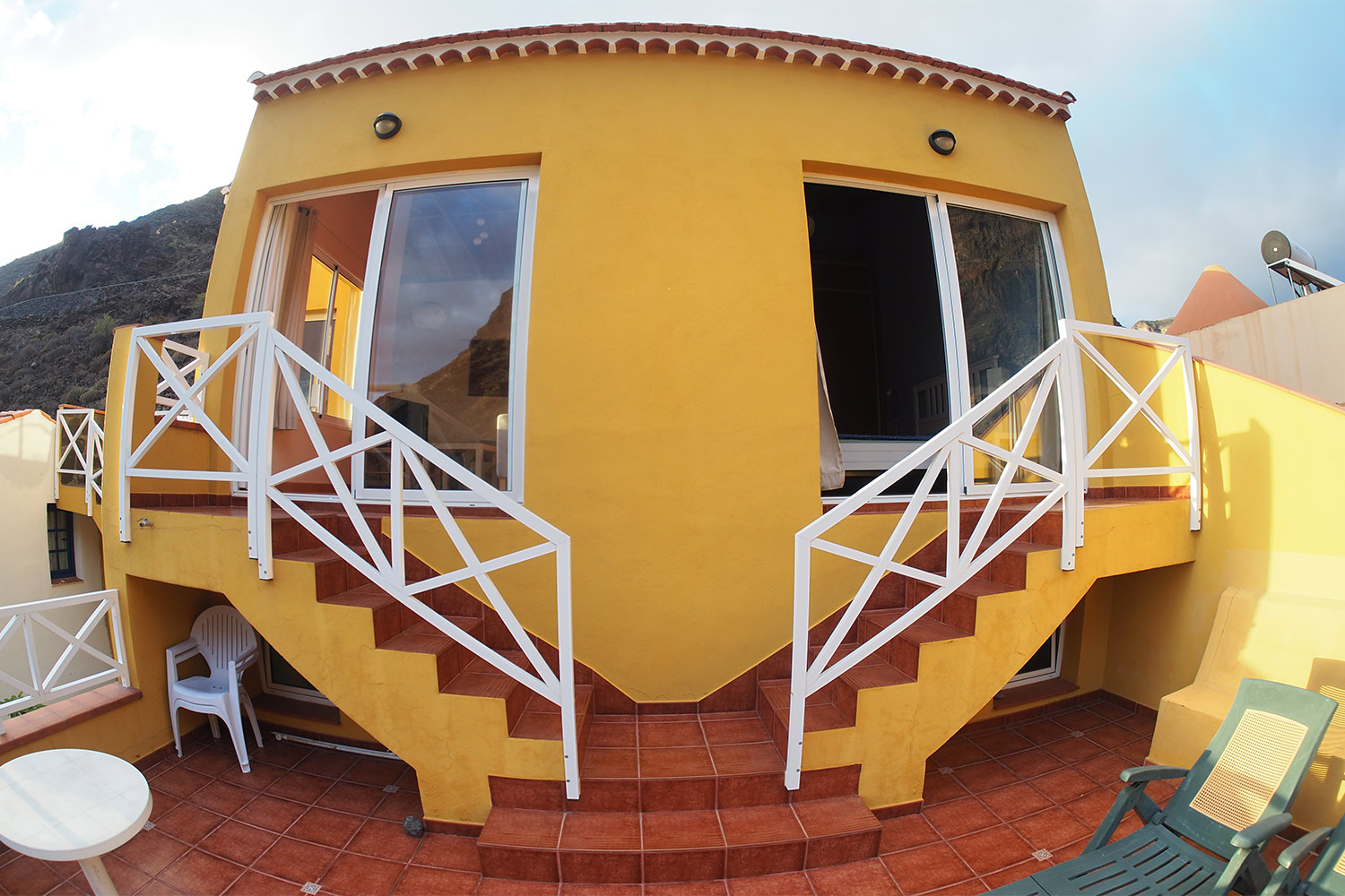
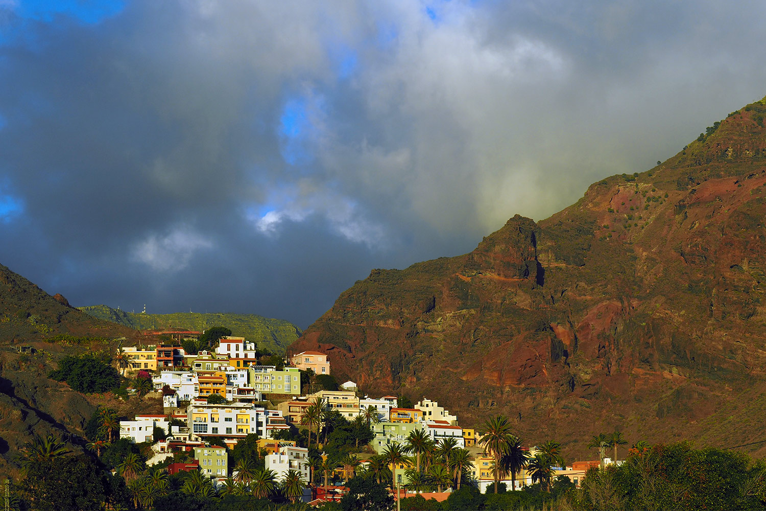
"Buena Vista" ist das oberste Adlernest einer terrassenartigen Wohnbebauung, die sich am steilen Hang des Berges La Mérica (Myrte, 850 m) hochzieht (da muss man auch mal paar Treppen steigen) (Foto: Andreas Kuhrt)
La Calera: Casa "Buena Vista" . Valle Gran Rey . La Gomera . Kanarische Inseln 2018 (Foto: Andreas Kuhrt)
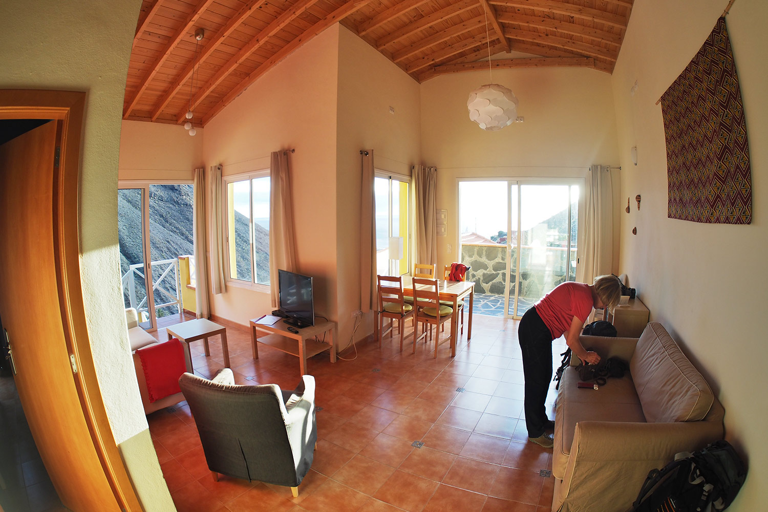
Aussicht, Licht, Luft und Platz ohne Ende... (Foto: Andreas Kuhrt)
La Calera: Casa "Buena Vista" . Valle Gran Rey . La Gomera . Kanarische Inseln 2018 (Foto: Andreas Kuhrt)
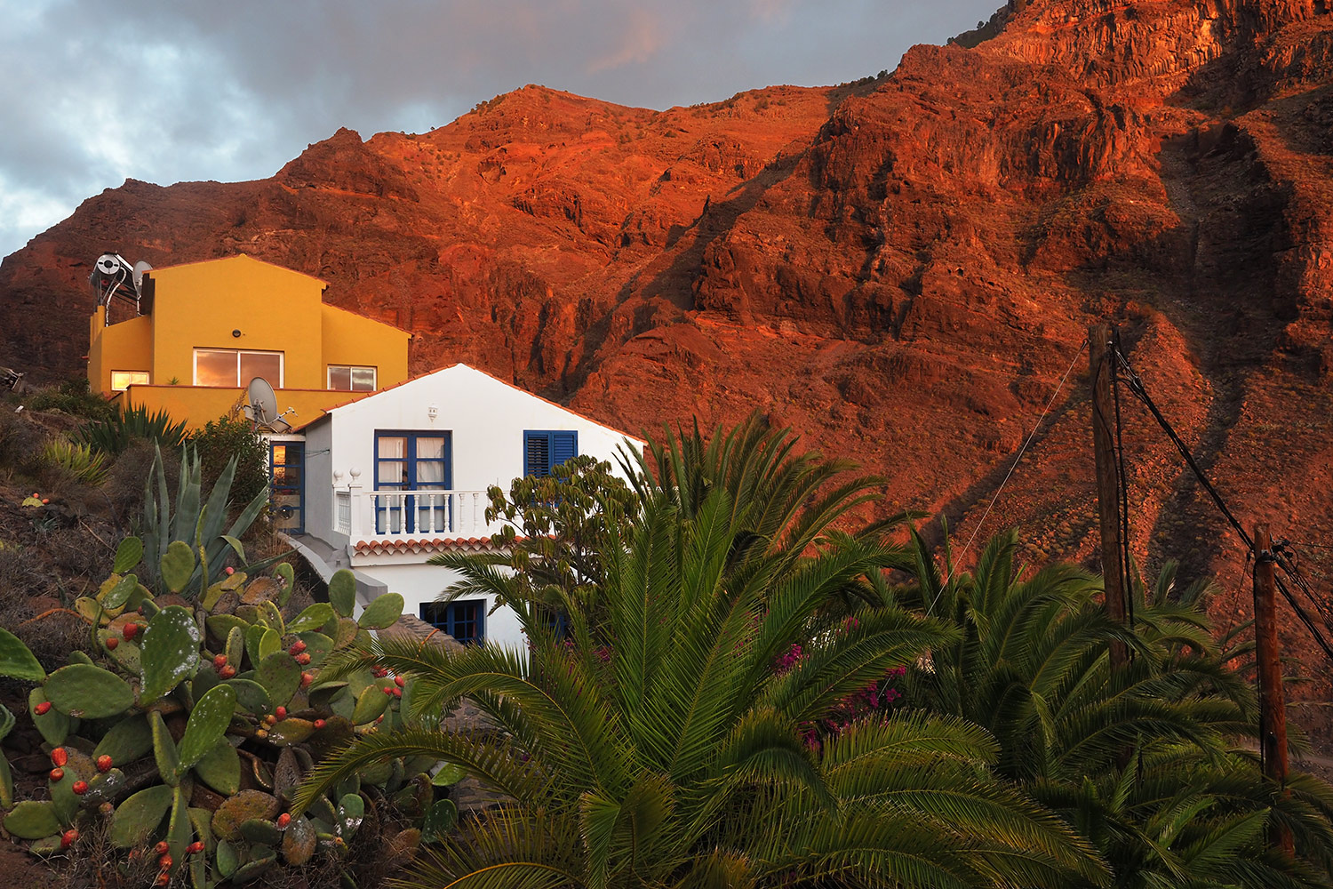
La Calera: Blick zur Casa "Buena Vista" . Valle Gran Rey . La Gomera . Kanarische Inseln 2018 (Foto: Andreas Kuhrt)
und ein perfekter Ausgangspunkt für Wanderungen im Valle Gran Rey mit Blick auf den gegenüberliegenden Berg Las Pilas (Stapel/Säulen, 641 m) und Degollada de los Bueyes (Ochsen schlachten?) (Foto: Andreas Kuhrt)
La Calera: Blick zur Casa "Buena Vista" . Valle Gran Rey . La Gomera . Kanarische Inseln 2018 (Foto: Andreas Kuhrt)
La Puntilla: Blick nach La Calera . Valle Gran Rey . La Gomera . Kanarische Inseln 2018 (Foto: Andreas Kuhrt)
La Calera im Abendlicht (von der Küste am Strand La Playa aus gesehen) (Foto: Andreas Kuhrt)
La Puntilla: Blick nach La Calera . Valle Gran Rey . La Gomera . Kanarische Inseln 2018 (Foto: Andreas Kuhrt)
Playa de Ingles . Valle Gran Rey . La Gomera . Kanarische Inseln 2018 (Foto: Andreas Kuhrt)
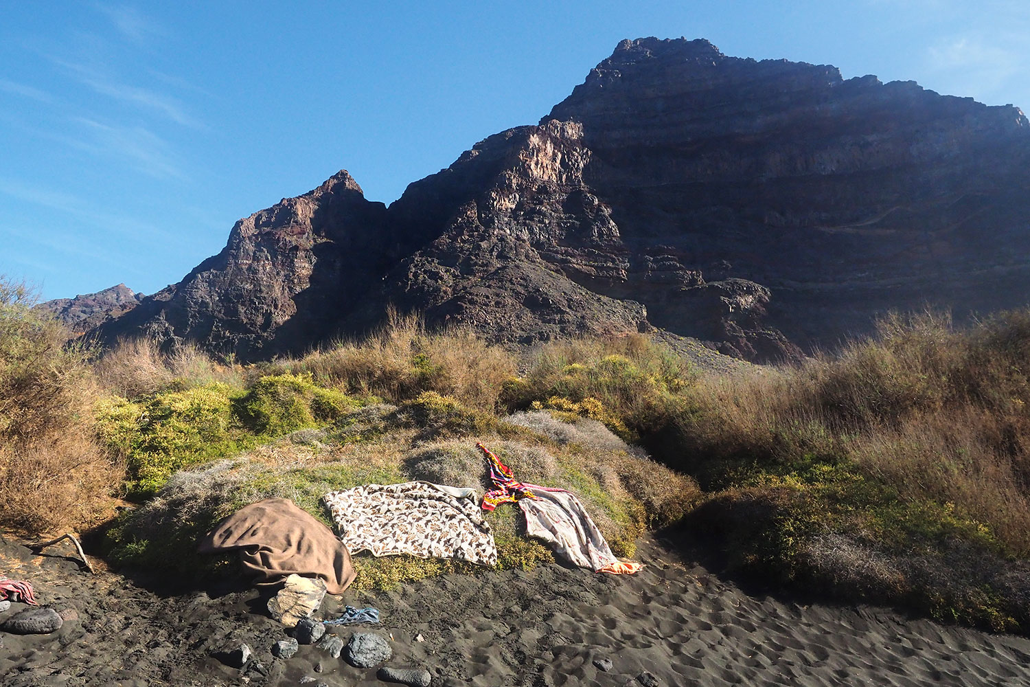
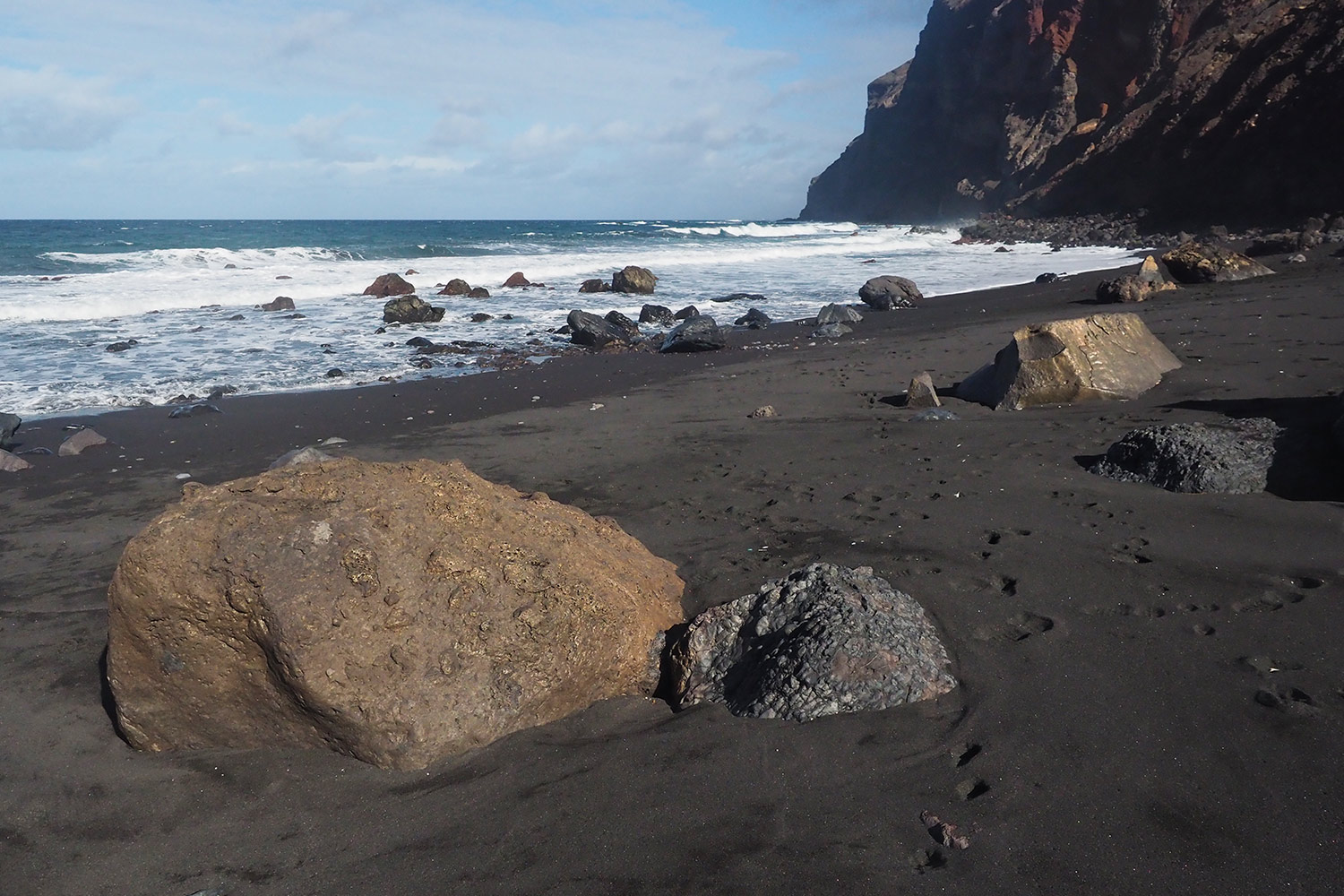
Etwas abseits am nördlichen Küstenstreifen des Valle Gran Rey unterhalb der Mérica-Steilwand liegt einer der bekanntesten Strände: Playa de Inglés (Englischer Strand, eigentlich eher deutsch): FKK im schwarzen Sand... (Foto: Andreas Kuhrt)
Playa de Ingles . Valle Gran Rey . La Gomera . Kanarische Inseln 2018 (Foto: Andreas Kuhrt)
Hasel an der Playa de Ingles . Valle Gran Rey . La Gomera . Kanarische Inseln 2018 (Foto: Manuela Hahnebach)
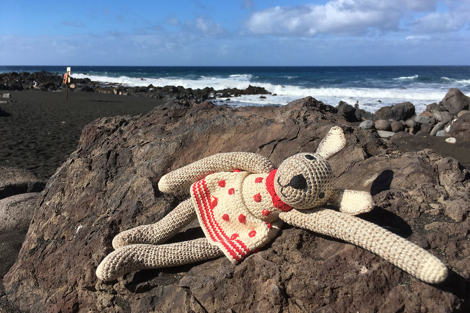
Hasel geniert sich noch ein bisschen (es war eben früher in Prerow und Markgrafenheide nicht dabei) (Foto: Manuela Hahnebach)
Hasel an der Playa de Ingles . Valle Gran Rey . La Gomera . Kanarische Inseln 2018 (Foto: Manuela Hahnebach)
Playa de Ingles . Valle Gran Rey . La Gomera . Kanarische Inseln 2018 (Foto: Andreas Kuhrt)
Das Ufer wird auch von einigen nackten Steinen und Geröll bevölkert... (Foto: Andreas Kuhrt)
Playa de Ingles . Valle Gran Rey . La Gomera . Kanarische Inseln 2018 (Foto: Andreas Kuhrt)
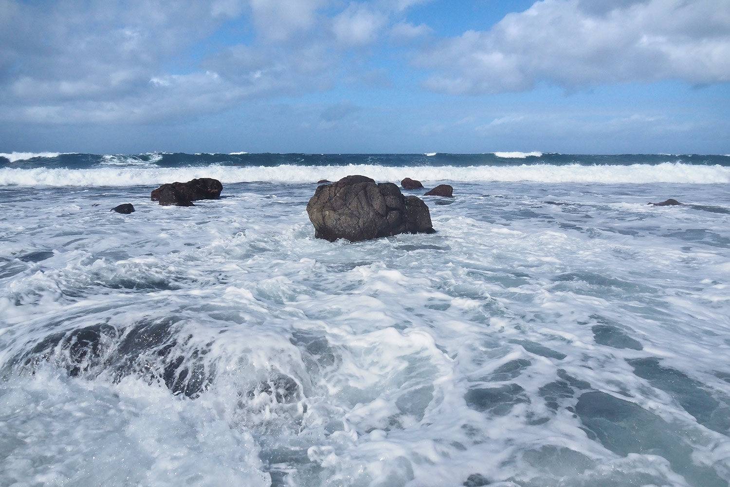
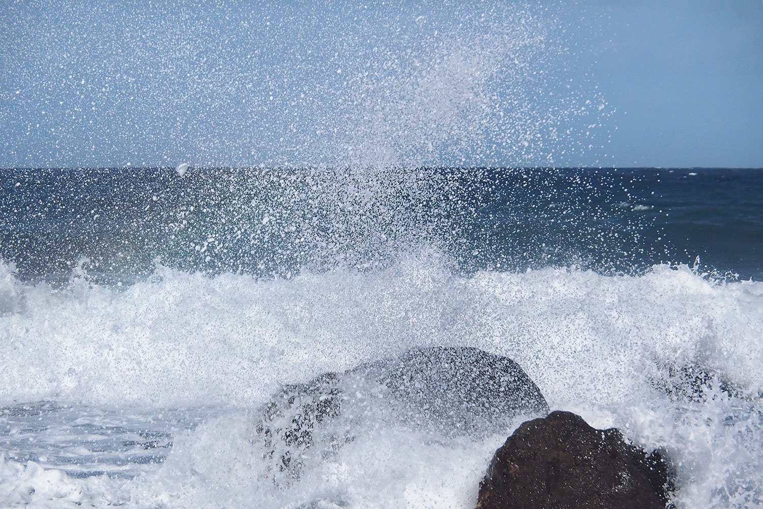
Wellen an der Playa de Ingles . Valle Gran Rey . La Gomera . Kanarische Inseln 2018 (Foto: Andreas Kuhrt)
die zusammen mit unberechenbaren Strömungen mitunter das Baden schwierig bis lebensgefährlich machen (eine Badeunfallliste hängt aus) (Foto: Andreas Kuhrt)
Wellen an der Playa de Ingles . Valle Gran Rey . La Gomera . Kanarische Inseln 2018 (Foto: Andreas Kuhrt)
Heute also höchstens FFK: Foto- und Fußbad-Kultur (Foto: Andreas Kuhrt)
Wellen an der Playa de Ingles . Valle Gran Rey . La Gomera . Kanarische Inseln 2018 (Foto: Andreas Kuhrt)
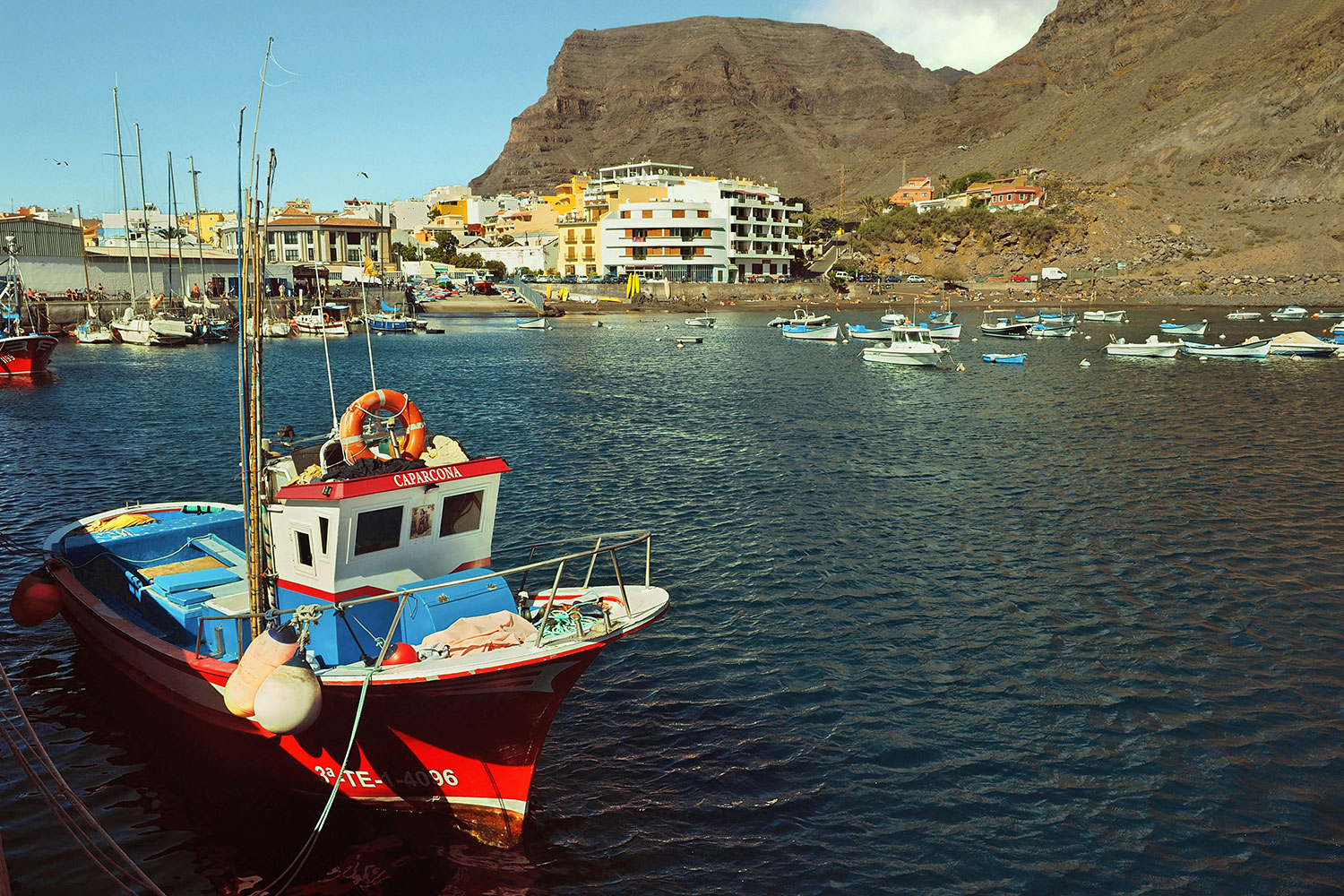
Puerto de Vueltas: Caparcona . Valle Gran Rey . La Gomera . Kanarische Inseln 2018 (Foto: Andreas Kuhrt)
Am 2,5 km gegenüber liegenden südlichen Ende der Valle-Gran-Rey-Küstenebene liegt der ehemalige Fischerort Vueltas mit dem Hafen des Valle Gran Rey: "Caparcona" hat sich von El Rügen nach La Gomera verirrt (Foto: Andreas Kuhrt)
Puerto de Vueltas: Caparcona . Valle Gran Rey . La Gomera . Kanarische Inseln 2018 (Foto: Andreas Kuhrt)
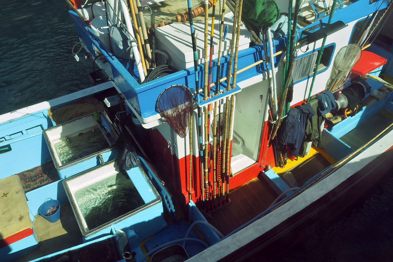
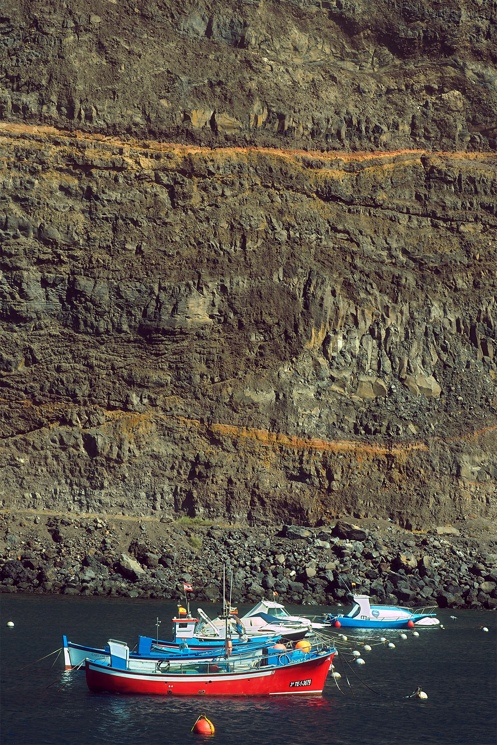
Puerto de Vueltas: Angelboot . Valle Gran Rey . La Gomera . Kanarische Inseln 2018 (Foto: Andreas Kuhrt)
Im Hafenbecken dümpeln ein paar Yachten, Ausflugs- und Fischerboote... (Foto: Andreas Kuhrt)
Puerto de Vueltas: Angelboot . Valle Gran Rey . La Gomera . Kanarische Inseln 2018 (Foto: Andreas Kuhrt)
Puerto de Vueltas . Valle Gran Rey . La Gomera . Kanarische Inseln 2018 (Foto: Andreas Kuhrt)
direkt unter der 400 m hohen Felswand des Berges Tequergenche, der die Küstenebene abriegelt (Foto: Andreas Kuhrt)
Puerto de Vueltas . Valle Gran Rey . La Gomera . Kanarische Inseln 2018 (Foto: Andreas Kuhrt)
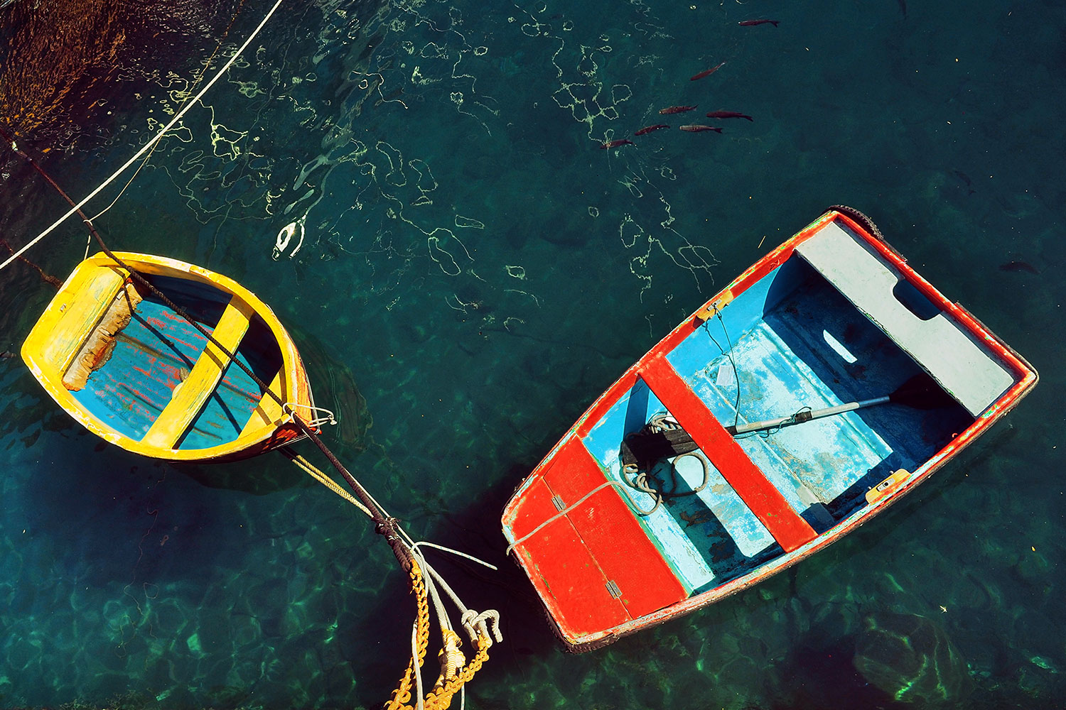
Puerto de Vueltas: Dingis . Valle Gran Rey . La Gomera . Kanarische Inseln 2018 (Foto: Andreas Kuhrt)
Ein Paar kleinere Yachten (Foto: Andreas Kuhrt)
Puerto de Vueltas: Dingis . Valle Gran Rey . La Gomera . Kanarische Inseln 2018 (Foto: Andreas Kuhrt)
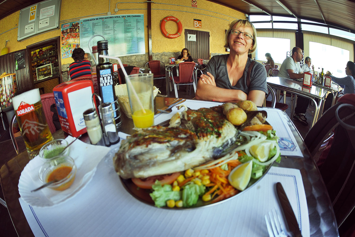
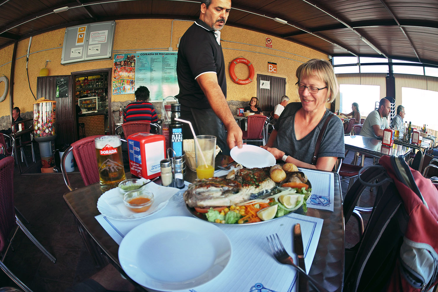
Puerto de Vueltas: Bar Cofradía de Pescadores Nuestra Señora de Candelaria . Valle Gran Rey . La Gomera . Kanarische Inseln 2018 (Foto: Andreas Kuhrt)
Ganz nach unserem Geschmack: die "Hafenbar" der Cofradía de Pescadores Nuestra Señora del Carmen (Fischer-Bruderschaft der Jungfrau von Karmel)... (Foto: Andreas Kuhrt)
Puerto de Vueltas: Bar Cofradía de Pescadores Nuestra Señora de Candelaria . Valle Gran Rey . La Gomera . Kanarische Inseln 2018 (Foto: Andreas Kuhrt)
sehr leckerer frischer Fisch in Mensa-Atmosphäre mit mürrischen Kellnern (aber die beißen nicht, sondern wir beißen gleich in unsere vielleicht Zahnbrasse für zwei) (Foto: Andreas Kuhrt)
Puerto de Vueltas: Bar Cofradía de Pescadores Nuestra Señora de Candelaria . Valle Gran Rey . La Gomera . Kanarische Inseln 2018 (Foto: Andreas Kuhrt)
Puerto de Vueltas . Valle Gran Rey . La Gomera . Kanarische Inseln 2018 (Foto: Andreas Kuhrt)
Slipanlage und der (gut besuchte weil wellengeschützte) Strand des Hafens Puerto de Vueltas liegen gleich nebeneinander (Foto: Andreas Kuhrt)
Puerto de Vueltas . Valle Gran Rey . La Gomera . Kanarische Inseln 2018 (Foto: Andreas Kuhrt)
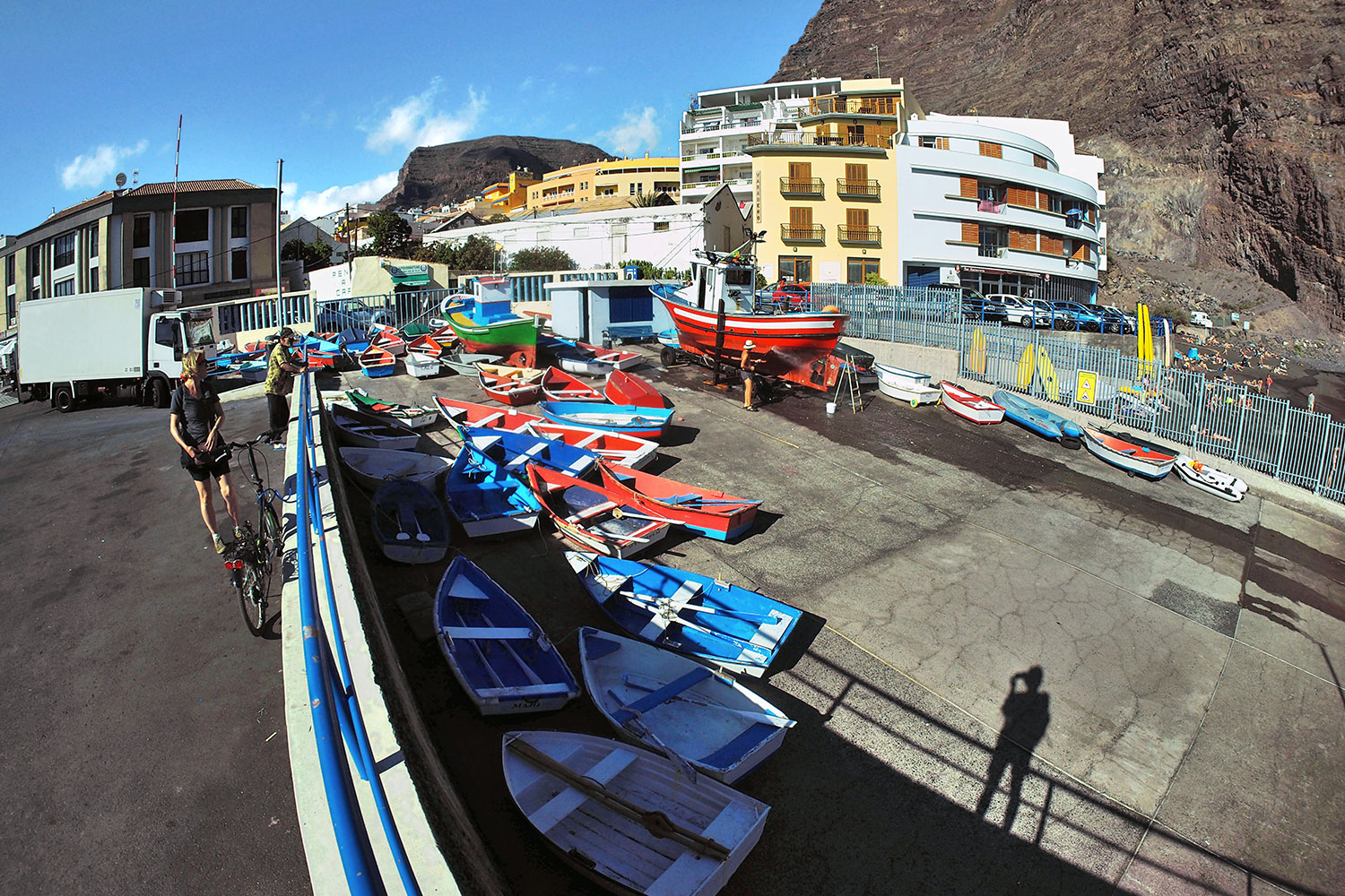
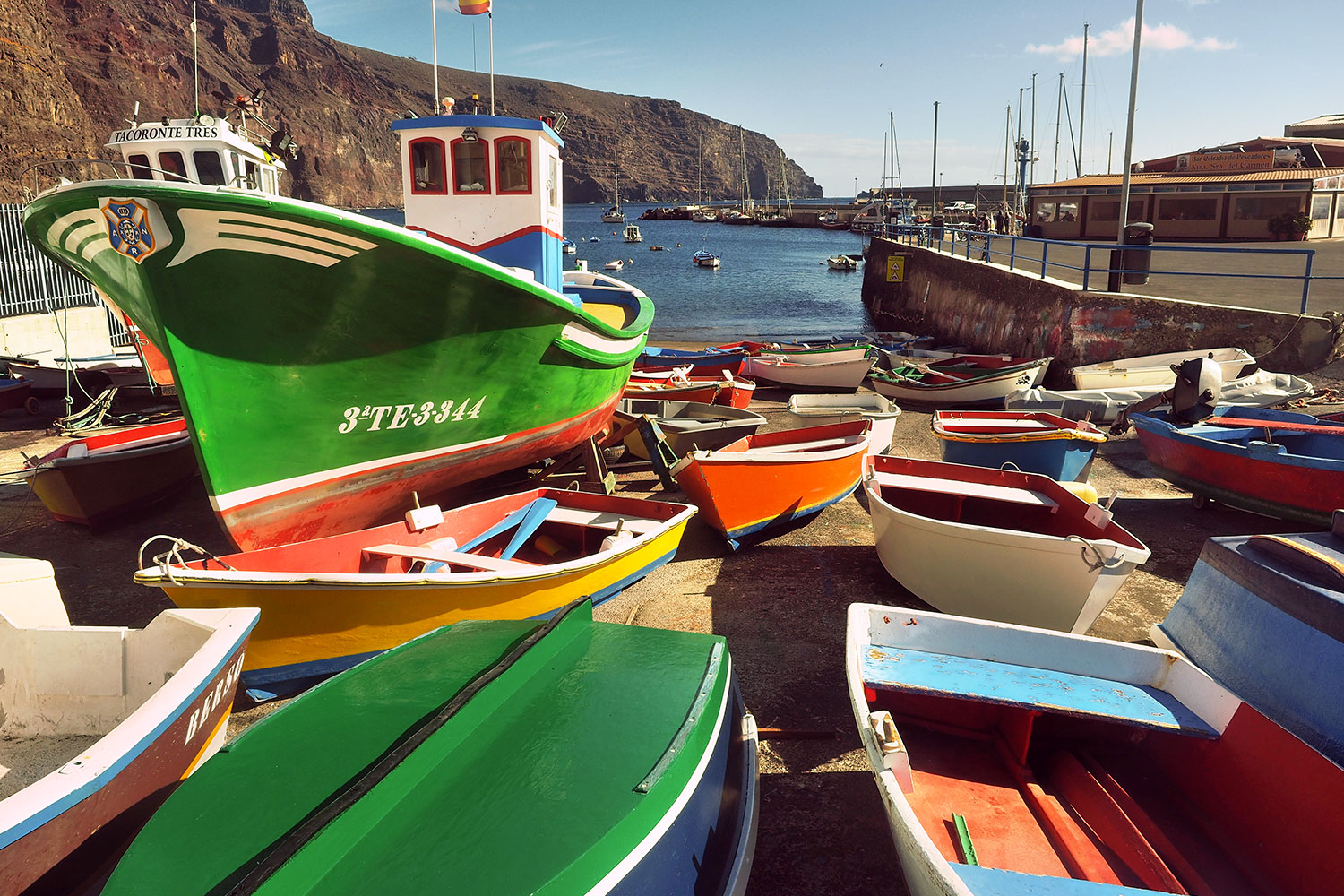
Puerto de Vueltas: Boote . Valle Gran Rey . La Gomera . Kanarische Inseln 2018 (Foto: Andreas Kuhrt)
auf der Bootsrampe liegen vor allem die Dingis der Fischerboote, die ihre Parkposition im Hafenbecken haben (Foto: Andreas Kuhrt)
Puerto de Vueltas: Boote . Valle Gran Rey . La Gomera . Kanarische Inseln 2018 (Foto: Andreas Kuhrt)
Buntes Bootsgetümmel im Hafen von Vueltas (Foto: Andreas Kuhrt)
Puerto de Vueltas: Boote . Valle Gran Rey . La Gomera . Kanarische Inseln 2018 (Foto: Andreas Kuhrt)
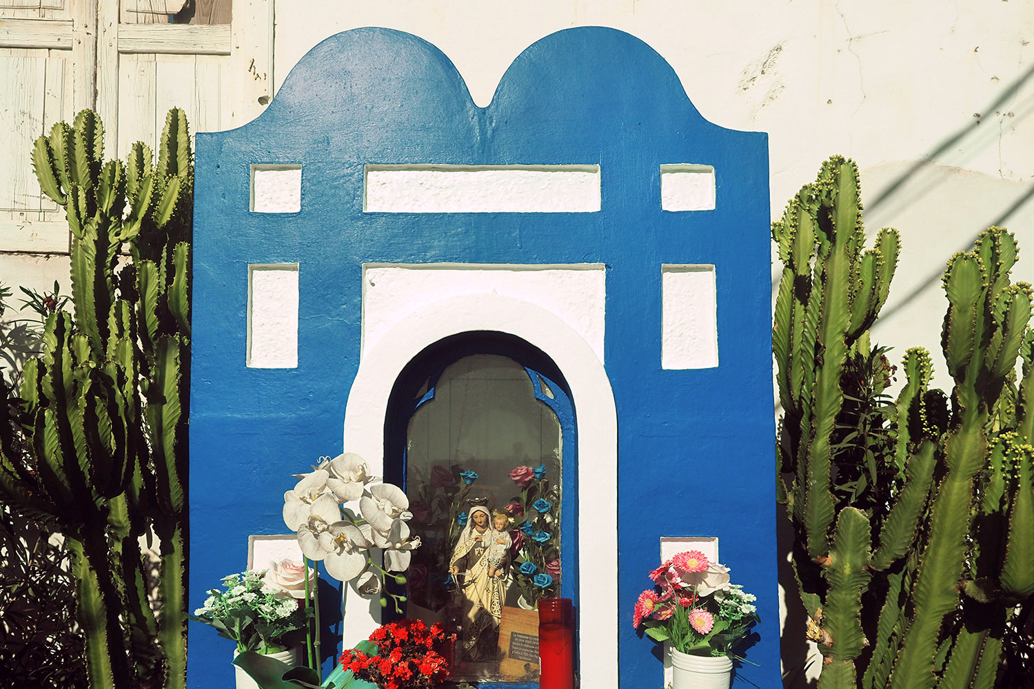
Vueltas: Marienschrein . Valle Gran Rey . La Gomera . Kanarische Inseln 2018 (Foto: Andreas Kuhrt)
Ein Wegschrein in Vueltas: schätze mal für die Nuestra Señora del Carmen (Jungfrau von Karmel), Schutzheilige der Fischer und Seefahrer (Foto: Andreas Kuhrt)
Vueltas: Marienschrein . Valle Gran Rey . La Gomera . Kanarische Inseln 2018 (Foto: Andreas Kuhrt)
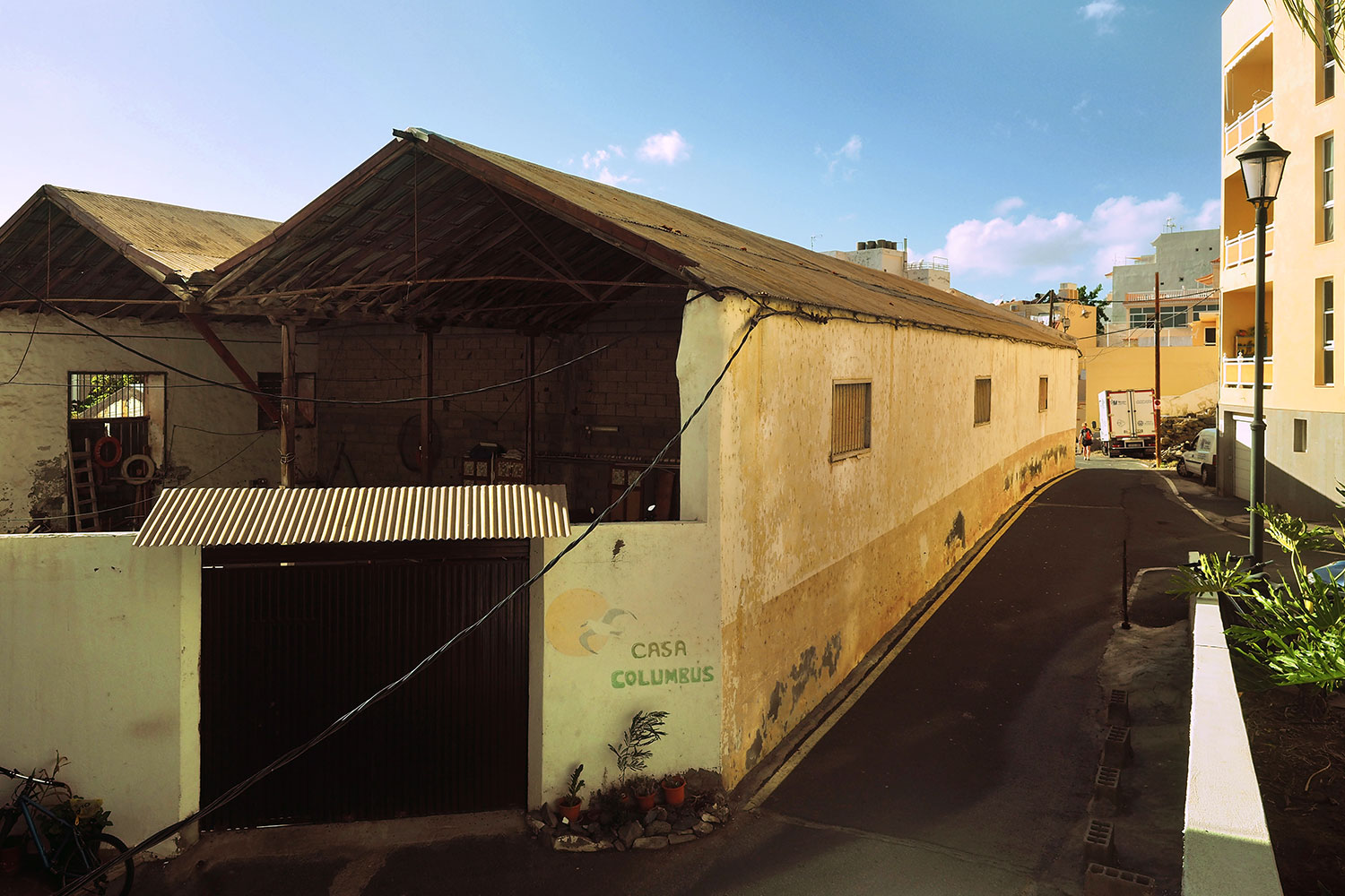
Vueltas: Casa Columbus . Valle Gran Rey . La Gomera . Kanarische Inseln 2018 (Foto: Andreas Kuhrt)
Gegensätze in Vueltas: alte und neue Packhäuser: früher für Waren des Grundbesitzers Álvaro Rodríguez López (links), heute für Touristen (rechts) (Foto: Andreas Kuhrt)
Vueltas: Casa Columbus . Valle Gran Rey . La Gomera . Kanarische Inseln 2018 (Foto: Andreas Kuhrt)
Vueltas: Wellen am Charco de la Condesa . Valle Gran Rey . La Gomera . Kanarische Inseln 2018 (Foto: Andreas Kuhrt)
Vorn an der Avenida Maritima Charco de Conde... (Foto: Andreas Kuhrt)
Vueltas: Wellen am Charco de la Condesa . Valle Gran Rey . La Gomera . Kanarische Inseln 2018 (Foto: Andreas Kuhrt)
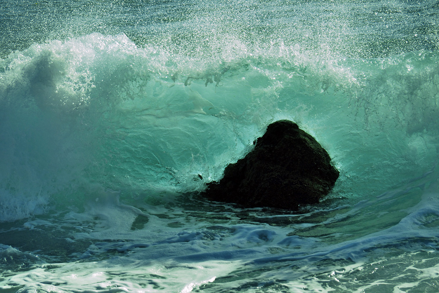
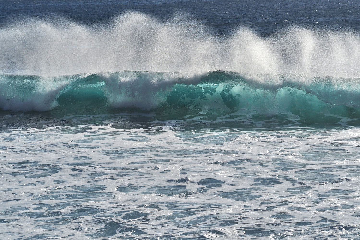
Wellen an der Playa de Ingles . Valle Gran Rey . La Gomera . Kanarische Inseln 2018 (Foto: Manuela Hahnebach)
spülen die Atlantikwellen... (Foto: Manuela Hahnebach)
Wellen an der Playa de Ingles . Valle Gran Rey . La Gomera . Kanarische Inseln 2018 (Foto: Manuela Hahnebach)
an die Westküste von Gomera... (Foto: Manuela Hahnebach)
Wellen an der Playa de Ingles . Valle Gran Rey . La Gomera . Kanarische Inseln 2018 (Foto: Manuela Hahnebach)
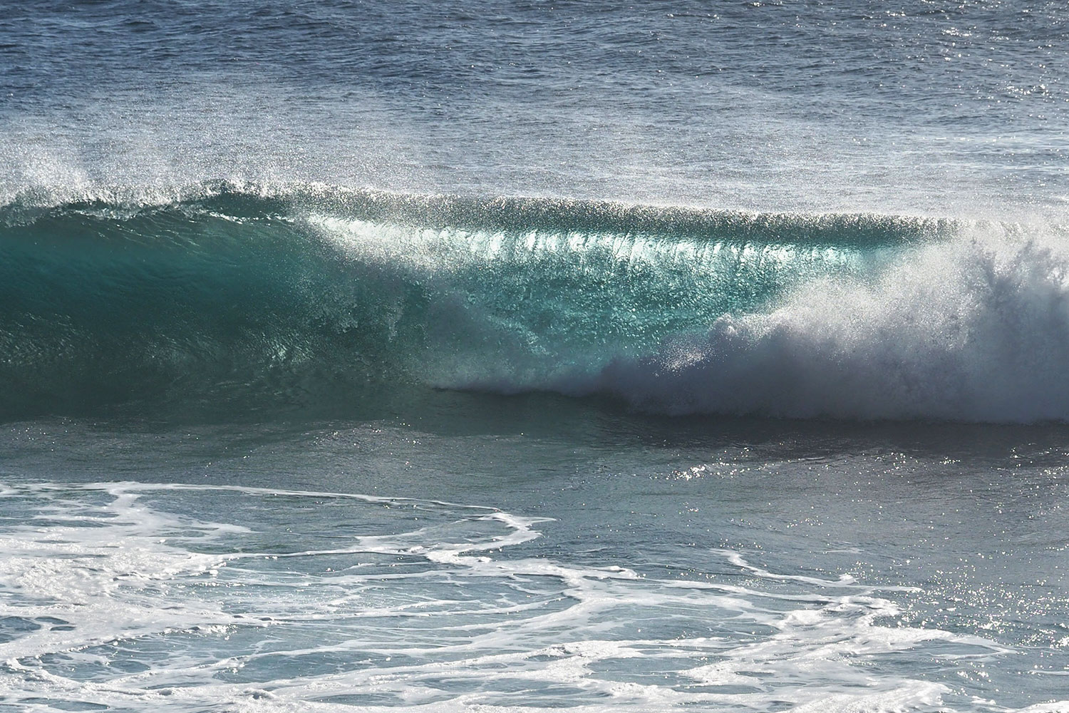
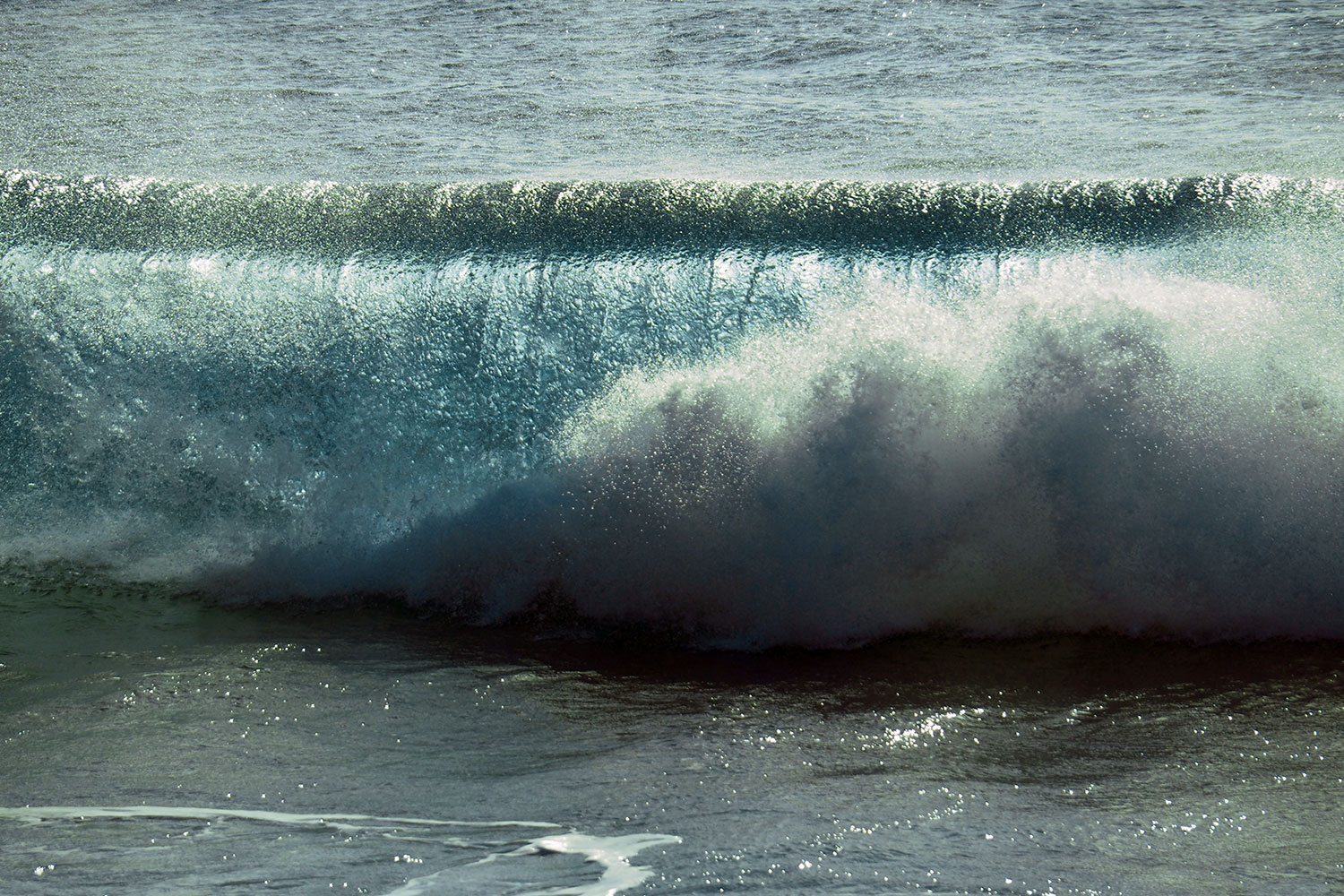
Vueltas: Wellen am Charco de la Condesa . Valle Gran Rey . La Gomera . Kanarische Inseln 2018 (Foto: Andreas Kuhrt)
hübsche Wasserwalzen... (Foto: Andreas Kuhrt)
Vueltas: Wellen am Charco de la Condesa . Valle Gran Rey . La Gomera . Kanarische Inseln 2018 (Foto: Andreas Kuhrt)
La Puntilla: Charco del Conde . Valle Gran Rey . La Gomera . Kanarische Inseln 2018 (Foto: Andreas Kuhrt)
Calle la Playa/Charco del Conde (Tümpel/Pfütze des Grafen?) ist eine beliebte, von Apartamentos umzingelte Flaniermeile und Strand in La Puntilla... (Foto: Andreas Kuhrt)
La Puntilla: Charco del Conde . Valle Gran Rey . La Gomera . Kanarische Inseln 2018 (Foto: Andreas Kuhrt)
La Puntilla: am Strand . Valle Gran Rey . La Gomera . Kanarische Inseln 2018 (Foto: Andreas Kuhrt)
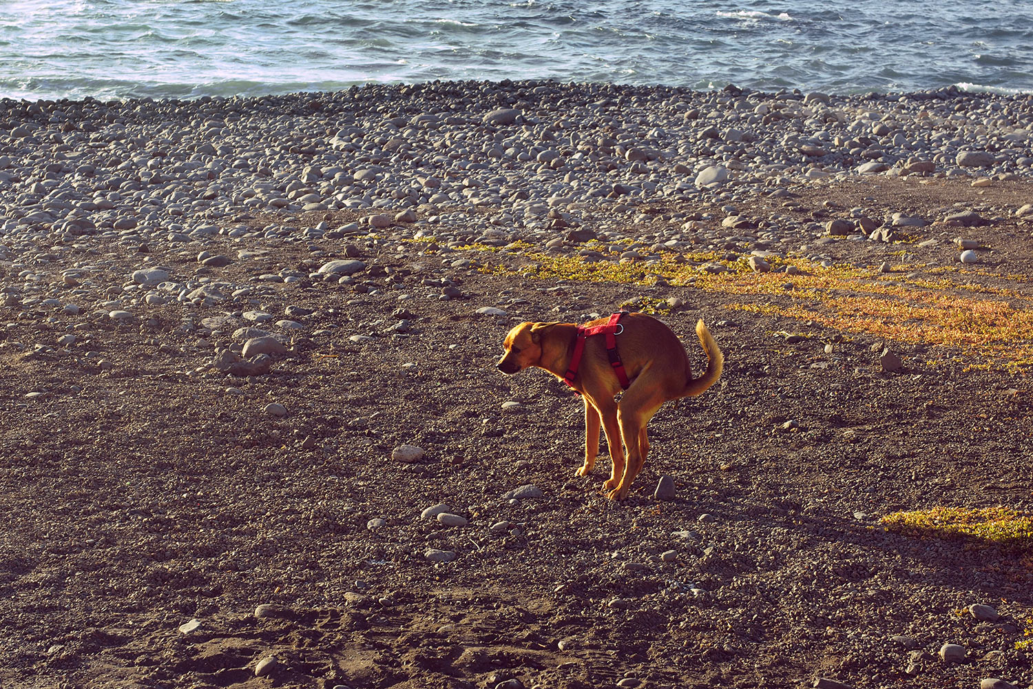
Nicht nur Grafen machen am Strand ihr Pfützchen (und mehr) (Foto: Andreas Kuhrt)
La Puntilla: am Strand . Valle Gran Rey . La Gomera . Kanarische Inseln 2018 (Foto: Andreas Kuhrt)
La Puntilla: Playa . Valle Gran Rey . La Gomera . Kanarische Inseln 2018 (Foto: Andreas Kuhrt)
Zwischen La Puntilla und La Playa in der Mitte der Valle-Gran-Rey-Küste zieht sich eine lange Geröllstrand-Bucht mit bester Aussicht aufs Meer und erstaunlich wenig Bebauung (Foto: Andreas Kuhrt)
La Puntilla: Playa . Valle Gran Rey . La Gomera . Kanarische Inseln 2018 (Foto: Andreas Kuhrt)
La Puntilla: Blick nach La Calera . Valle Gran Rey . La Gomera . Kanarische Inseln 2018 (Foto: Andreas Kuhrt)
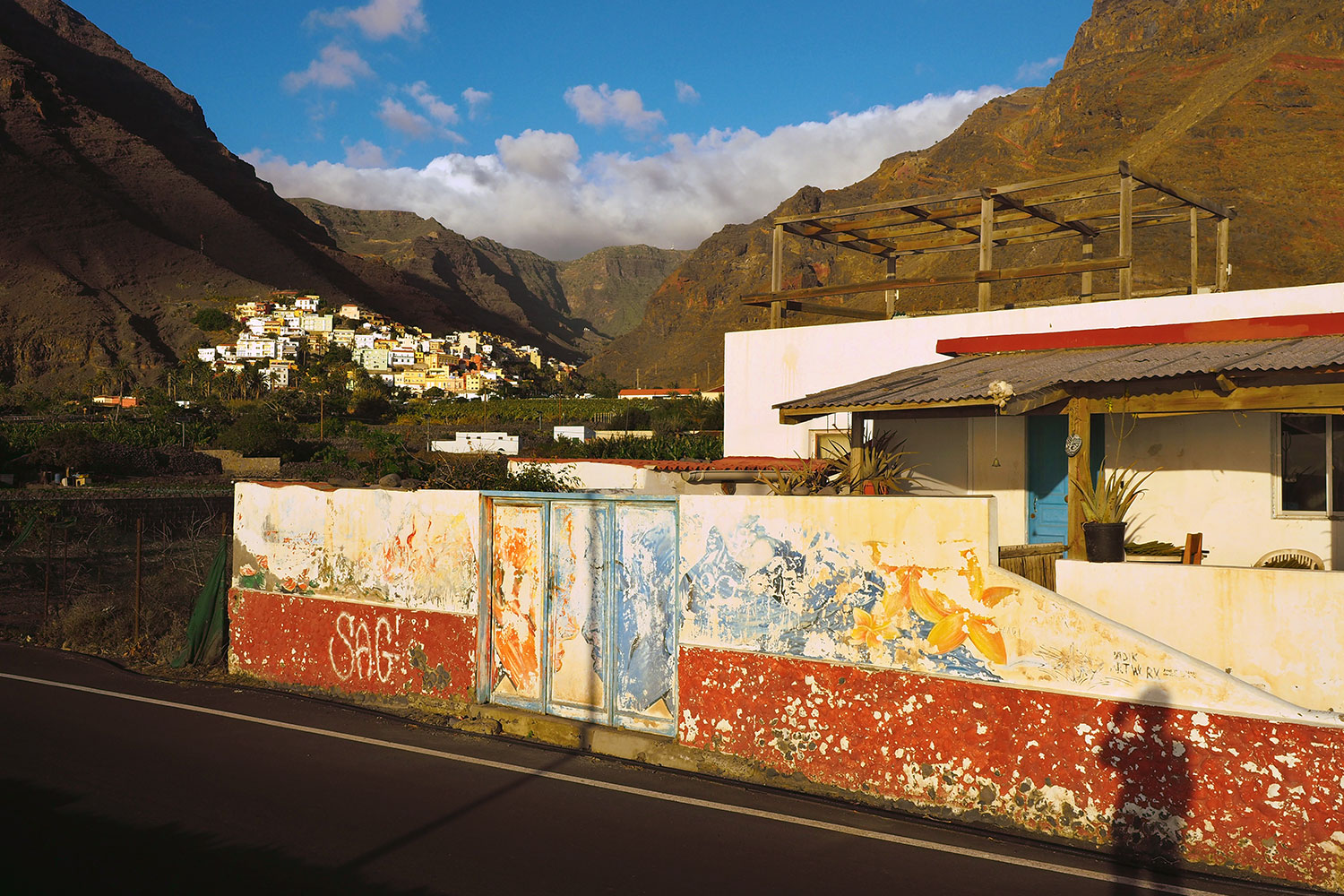
In der Plantagen-Zone von La Puntilla haben die Hotelketten noch nicht Fuß gefasst, sondern überleben sogar ein paar kleine ursprüngliche Hippie-Häuschen (Foto: Andreas Kuhrt)
La Puntilla: Blick nach La Calera . Valle Gran Rey . La Gomera . Kanarische Inseln 2018 (Foto: Andreas Kuhrt)
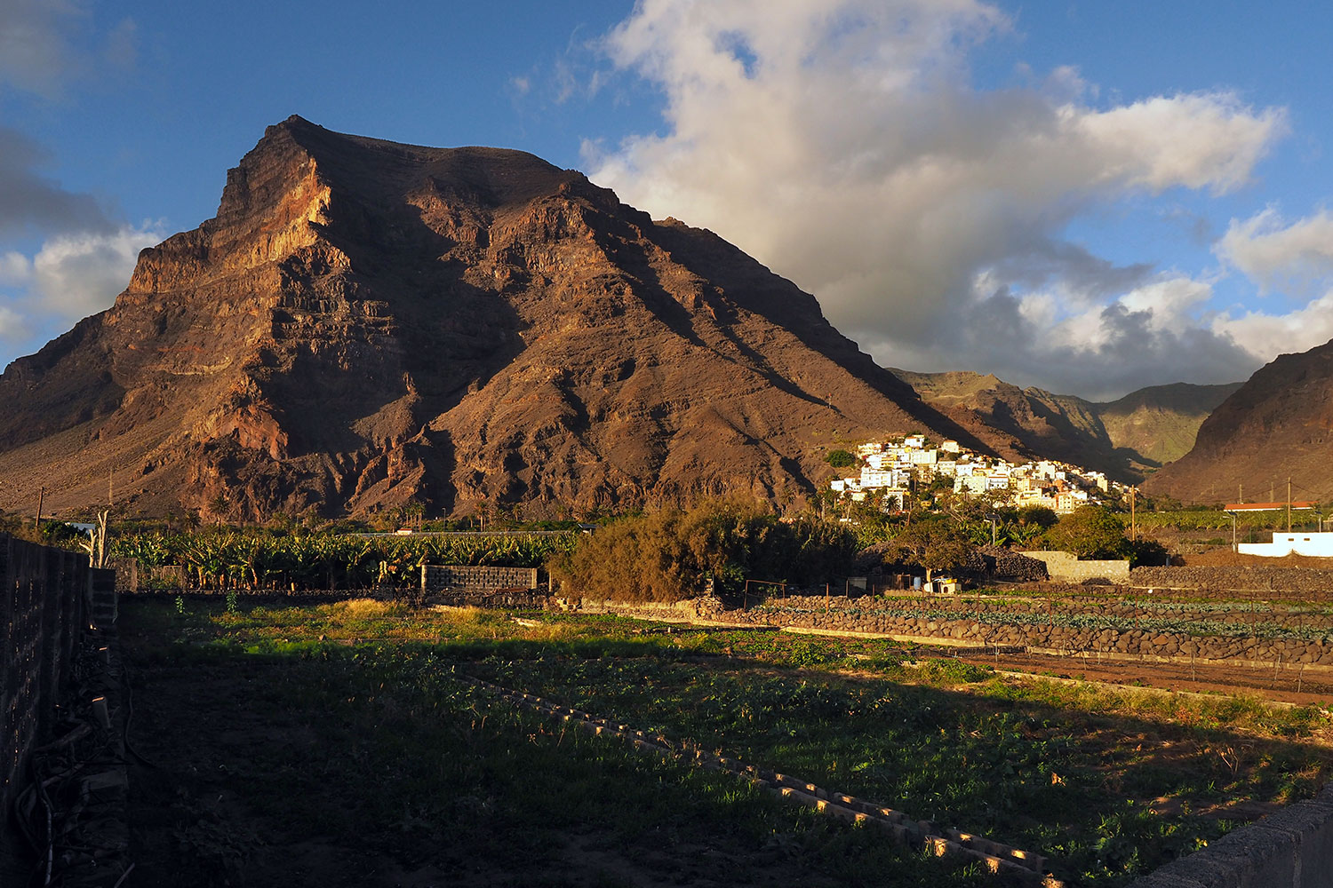
Blick über die Gärten und Felder von La Puntilla nach La Calera ins Valle Gran Rey (Foto: Andreas Kuhrt)
La Puntilla: Blick nach La Calera . Valle Gran Rey . La Gomera . Kanarische Inseln 2018 (Foto: Andreas Kuhrt)
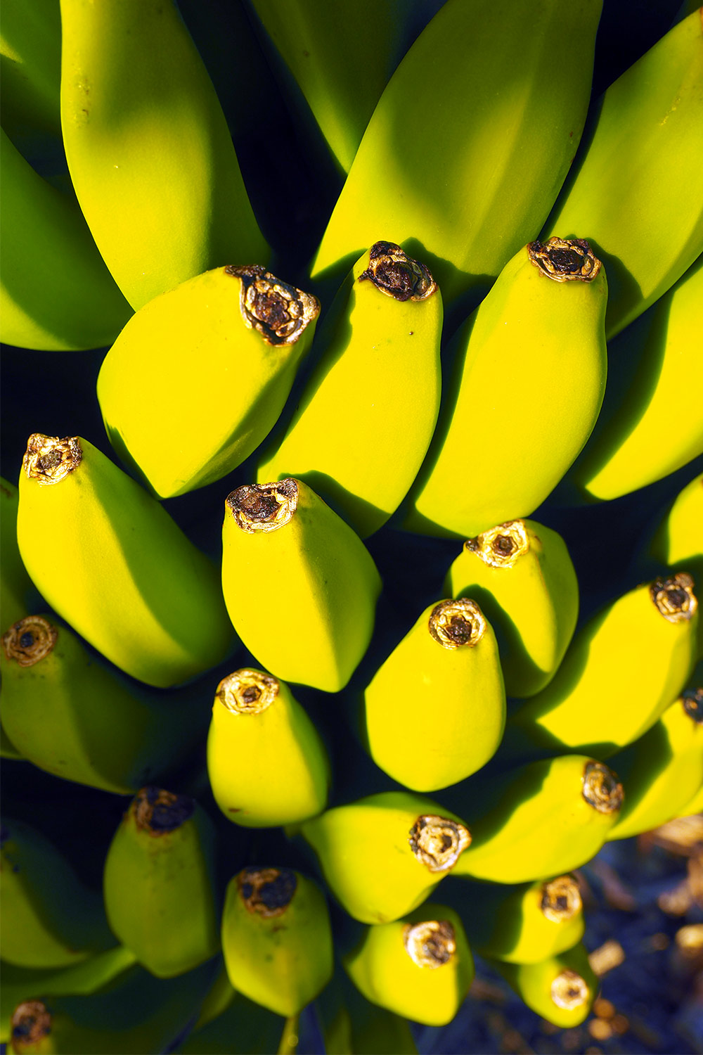
La Puntilla: Bananen in einer Plantage . Valle Gran Rey . La Gomera . Kanarische Inseln 2018 (Foto: Andreas Kuhrt)
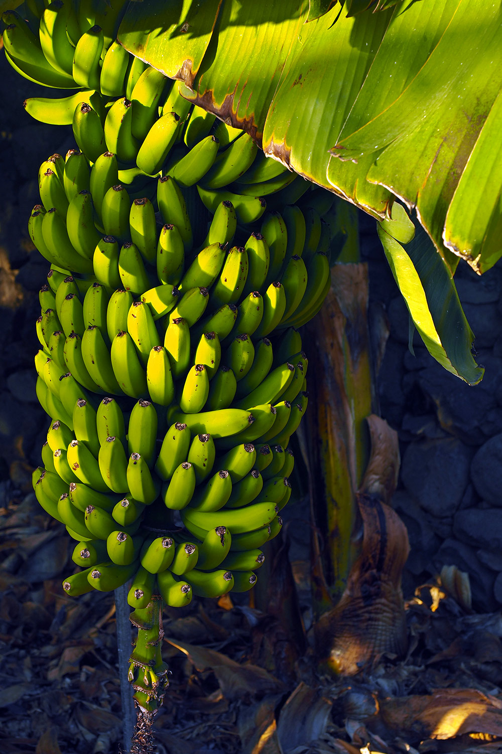
An der Calle de las Malezas (Unkraut-Straße, lustiger Name) hab ich in einer kleinen Bananenplantage ein paar Bilder gemacht: Bananenfruchtstand... (Foto: Andreas Kuhrt)
La Puntilla: Bananen in einer Plantage . Valle Gran Rey . La Gomera . Kanarische Inseln 2018 (Foto: Andreas Kuhrt)
wird Büschel genannt, bestehend aus 6 - 19 Händen, die 10 - 20 gelbe Finger haben (meint Wiki P. Dia) - das sollen Beeren sein (die wollen uns wohl einen Beeren aufbinden: die krummen Dinger wachsen doch in Supermärkten) (Foto: Andreas Kuhrt)
La Puntilla: Bananen in einer Plantage . Valle Gran Rey . La Gomera . Kanarische Inseln 2018 (Foto: Andreas Kuhrt)
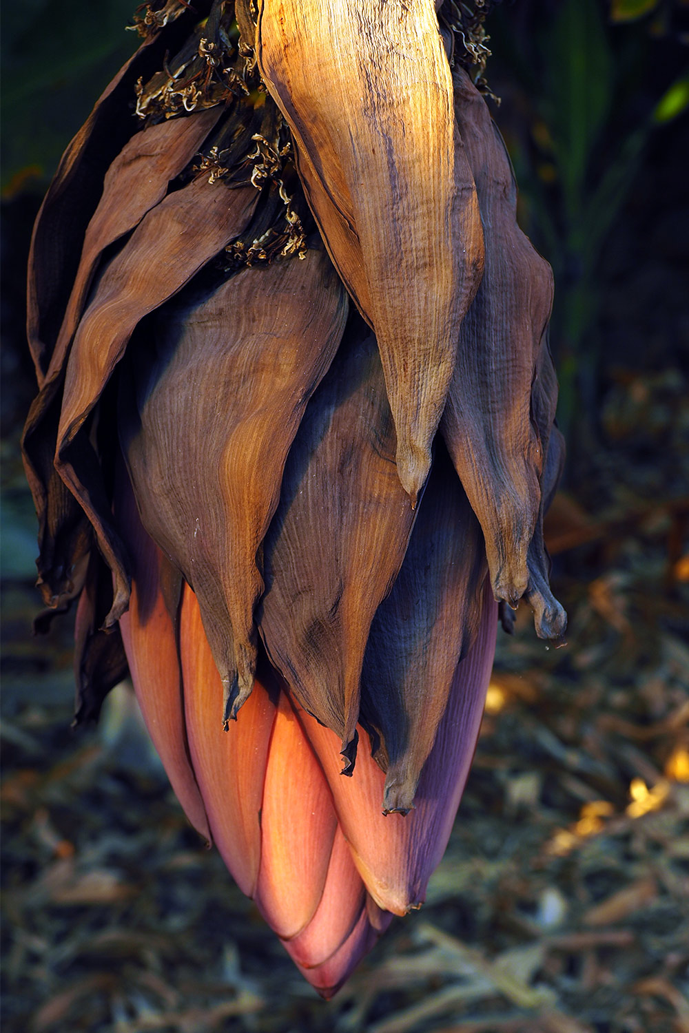
La Puntilla: Bananenblüte in einer Plantage . Valle Gran Rey . La Gomera . Kanarische Inseln 2018 (Foto: Andreas Kuhrt)
Alles Banane: Blüte (Foto: Andreas Kuhrt)
La Puntilla: Bananenblüte in einer Plantage . Valle Gran Rey . La Gomera . Kanarische Inseln 2018 (Foto: Andreas Kuhrt)
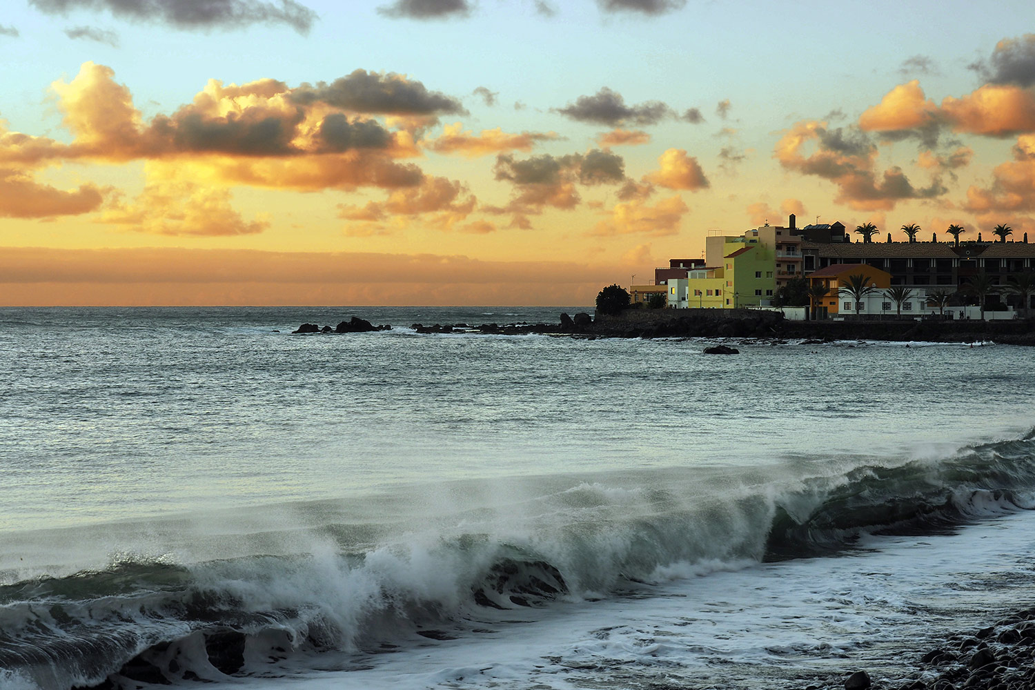
La Playa de la Calera . Valle Gran Rey . La Gomera . Kanarische Inseln 2018 (Foto: Andreas Kuhrt)
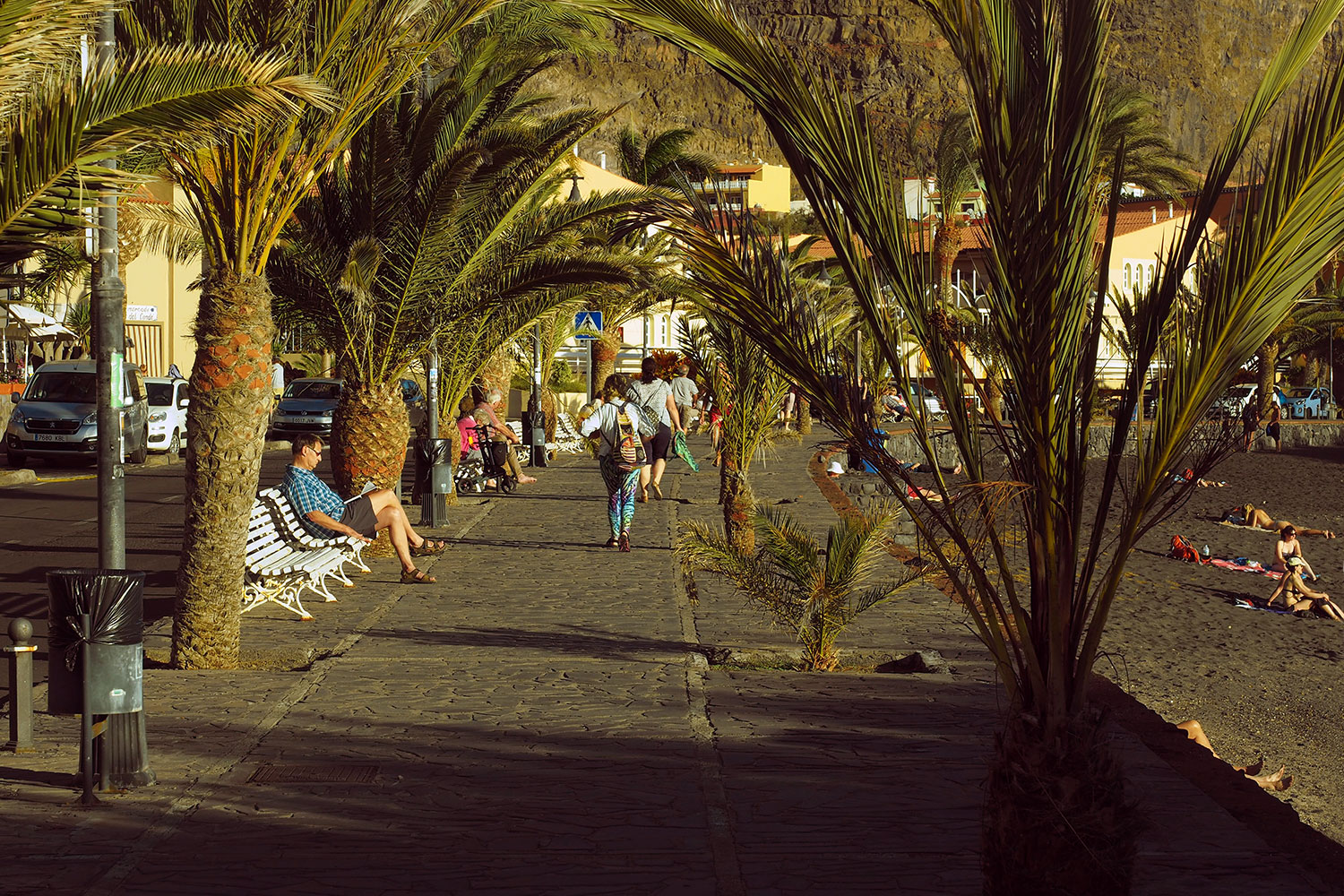
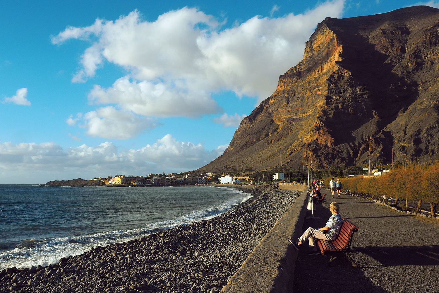
Der Strand von Valle Gran Rey an der Avenida Marítima im Abendlicht (Foto: Andreas Kuhrt)
La Playa de la Calera . Valle Gran Rey . La Gomera . Kanarische Inseln 2018 (Foto: Andreas Kuhrt)
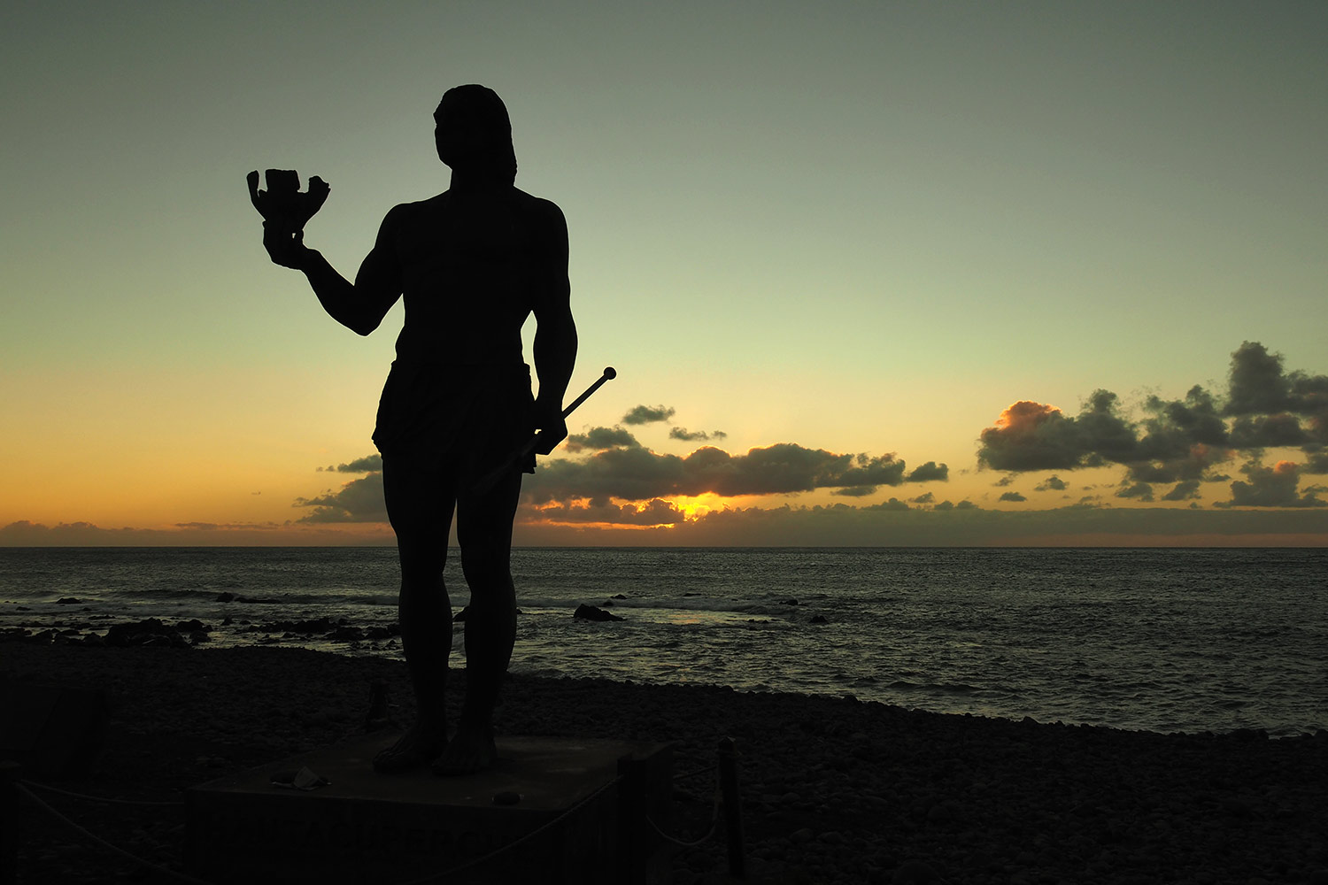
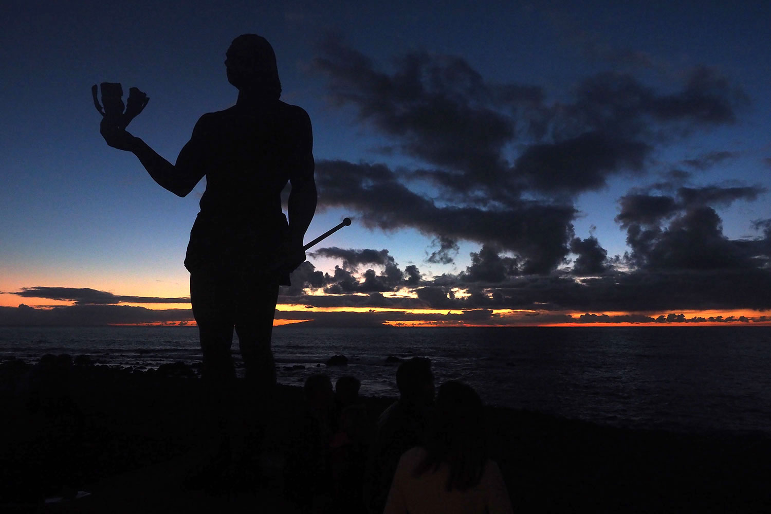
La Puntilla: Hautacuperche-Denkmal (Bildhauer: Luis Arencibia) . Valle Gran Rey . La Gomera . Kanarische Inseln 2018 (Foto: Andreas Kuhrt)
Am Strand von La Puntilla: 4 m hohe Hautacuperche-Bronzeskulptur (Bildhauer: Luis Arencibia): Hautacuperche war der Anführer eines niedergeschlagenen Guanchenaufstandes gegen die spanische Herrschaft von Hernán Peraza im Jahr 1488, der hier an der Baja del Secreto begann (Foto: Andreas Kuhrt)
La Puntilla: Hautacuperche-Denkmal (Bildhauer: Luis Arencibia) . Valle Gran Rey . La Gomera . Kanarische Inseln 2018 (Foto: Andreas Kuhrt)
La Playa: Blick nach La Calera . Valle Gran Rey . La Gomera . Kanarische Inseln 2018 (Foto: Andreas Kuhrt)
über dem Valle Gran Rey braut sich Licht zusammen (Foto: Andreas Kuhrt)
La Playa: Blick nach La Calera . Valle Gran Rey . La Gomera . Kanarische Inseln 2018 (Foto: Andreas Kuhrt)
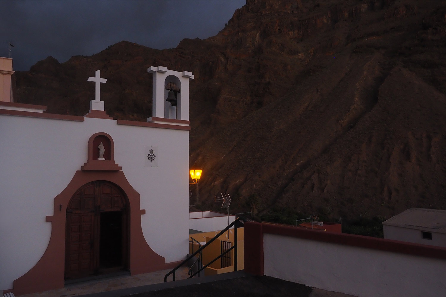
La Calera: Ermita San Salvador . Valle Gran Rey . La Gomera . Kanarische Inseln 2018 (Foto: Andreas Kuhrt)
Abendspaziergang in La Calera: Ermita San Salvador, eine kleine relativ neue Kirche aus dem vorigen Jahrhundert (Foto: Andreas Kuhrt)
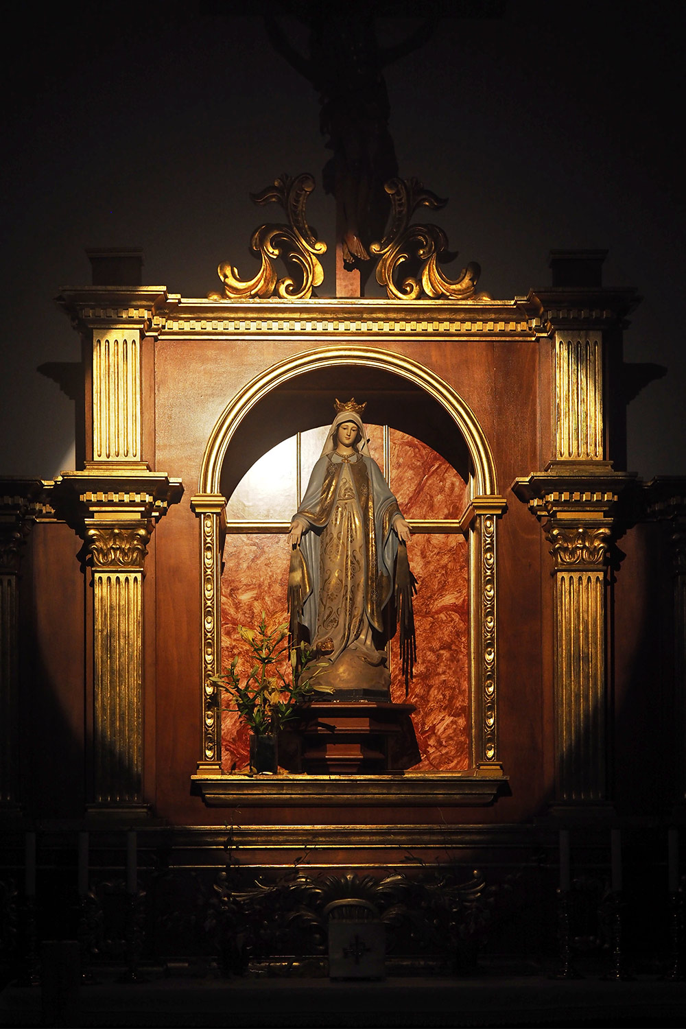
La Calera: Ermita San Salvador . Valle Gran Rey . La Gomera . Kanarische Inseln 2018 (Foto: Andreas Kuhrt)
Marien-Altar in der Ermita San Salvador (Foto: Andreas Kuhrt)
La Calera: Ermita San Salvador . Valle Gran Rey . La Gomera . Kanarische Inseln 2018 (Foto: Andreas Kuhrt)
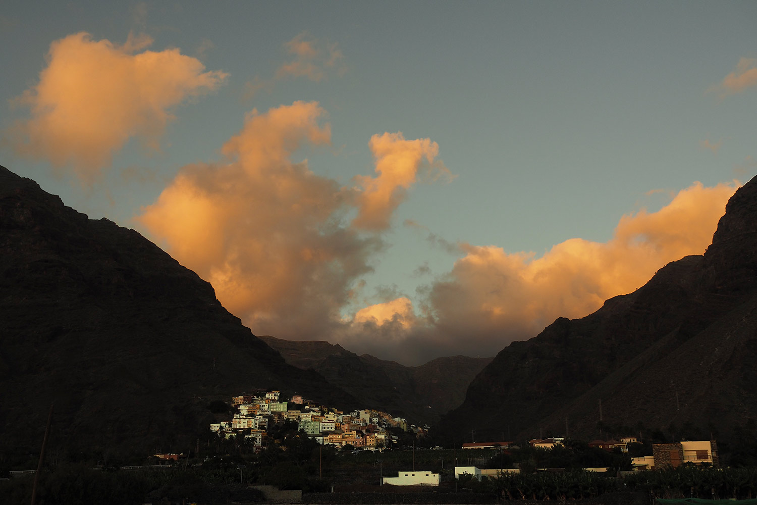
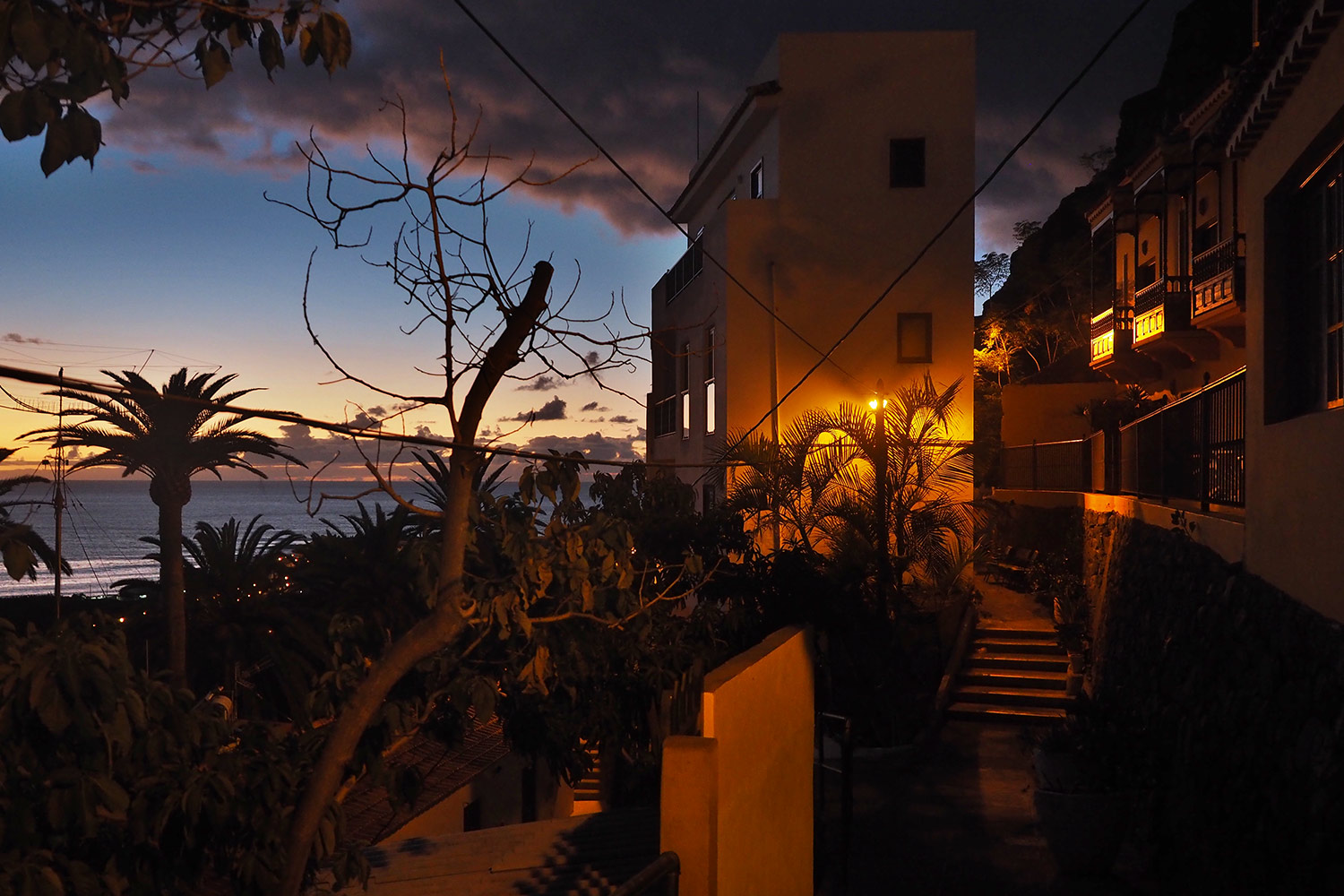
Abends in La Calera . Valle Gran Rey . La Gomera . Kanarische Inseln 2018 (Foto: Andreas Kuhrt)
Die kleinen Gassen und Treppenwege von La Calera laden zur Erkundung ein: mit etwas Glück kommt man auch in eines der 4 Restaurants rein (Foto: Andreas Kuhrt)
Abends in La Calera . Valle Gran Rey . La Gomera . Kanarische Inseln 2018 (Foto: Andreas Kuhrt)
La Calera: Bar/Restaurant "La Orquidea" . Valle Gran Rey . La Gomera . Kanarische Inseln 2018 (Foto: Andreas Kuhrt)
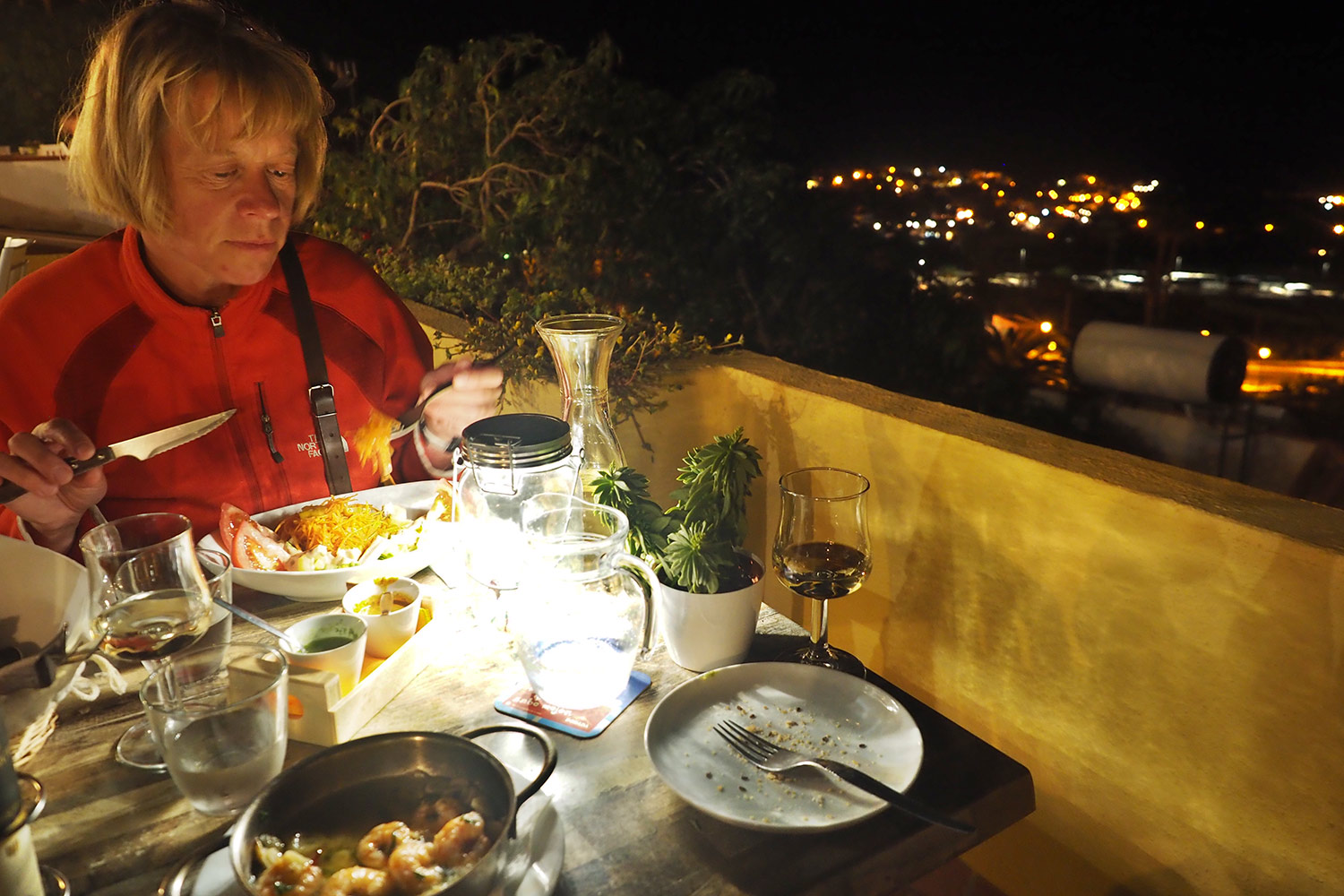
Einmal hatten wir Glück, ins "La Orquidea" reinzuschnuppern: gutes Essen, schönes Ambiente, tolle Aussicht, familiäre Atmosphäre und supernette Bewirtung (Foto: Andreas Kuhrt)
La Calera: Bar/Restaurant "La Orquidea" . Valle Gran Rey . La Gomera . Kanarische Inseln 2018 (Foto: Andreas Kuhrt)
La Puntilla: Hautacuperche-Denkmal (Bildhauer: Luis Arencibia) . Valle Gran Rey . La Gomera . Kanarische Inseln 2018 (Foto: Andreas Kuhrt)
Zurück zum Strand von Valle Gran Rey zum Hautacuperche von La Puntilla (Foto: Manuela Hahnebach)
La Puntilla: Hautacuperche-Denkmal (Bildhauer: Luis Arencibia) . Valle Gran Rey . La Gomera . Kanarische Inseln 2018 (Foto: Andreas Kuhrt)
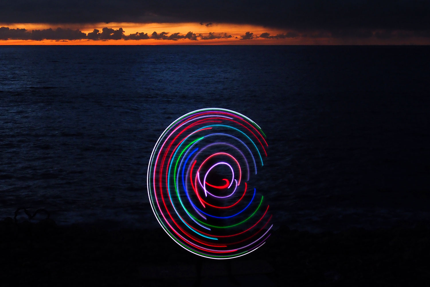
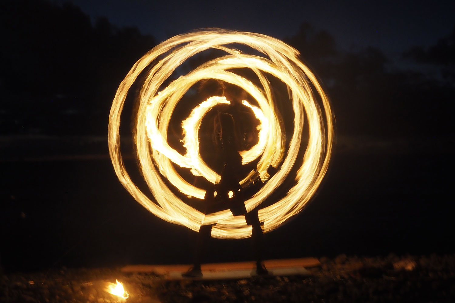
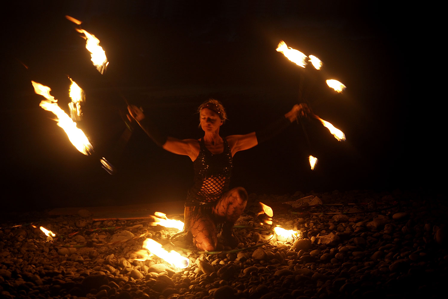
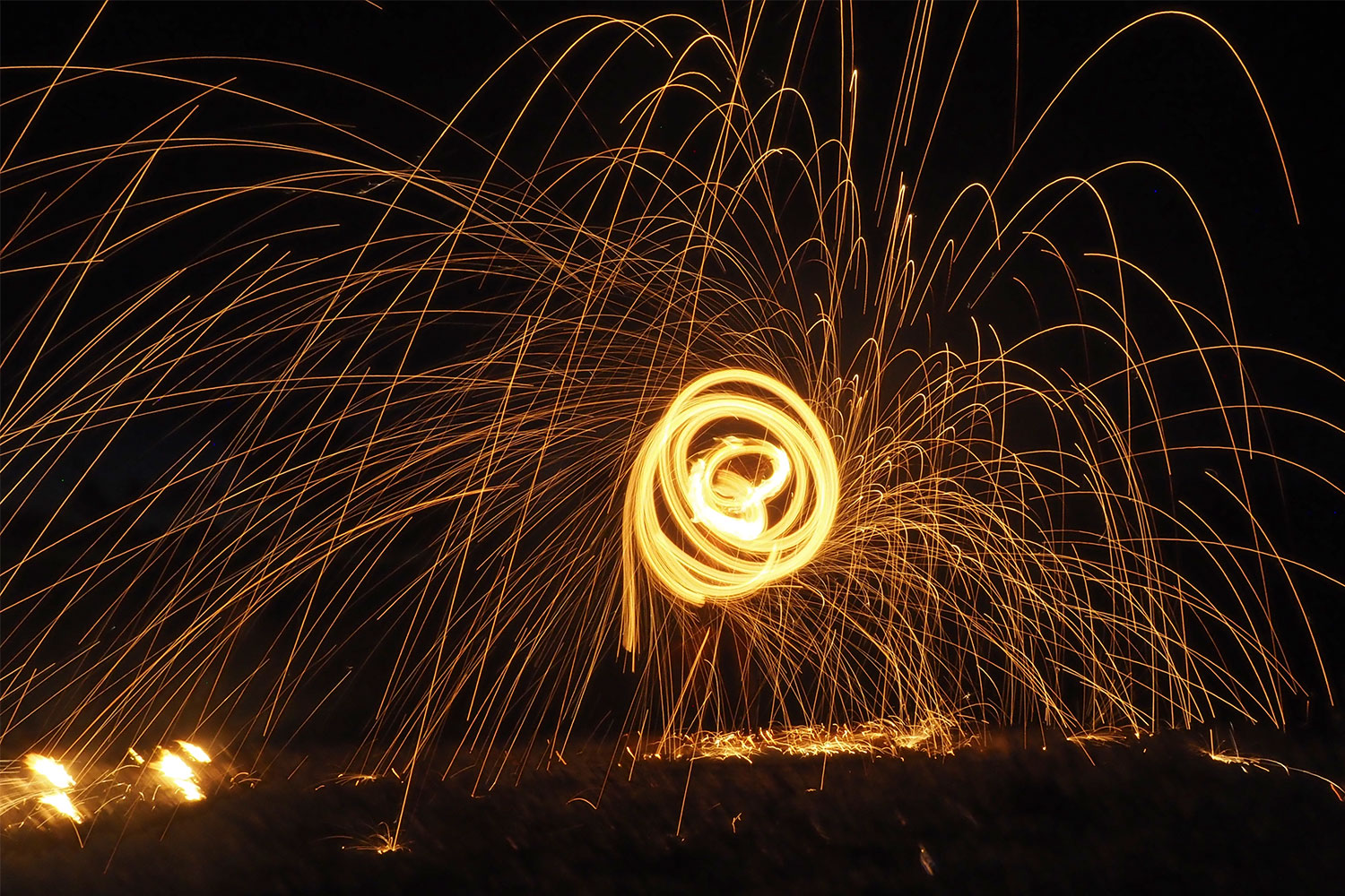
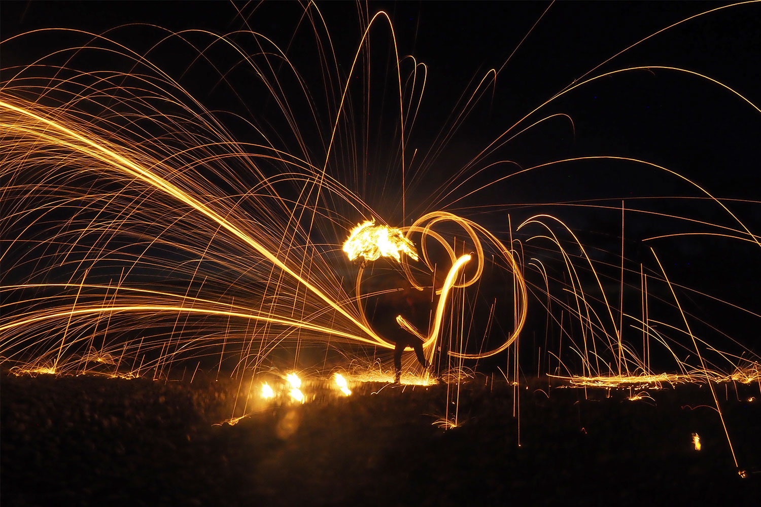
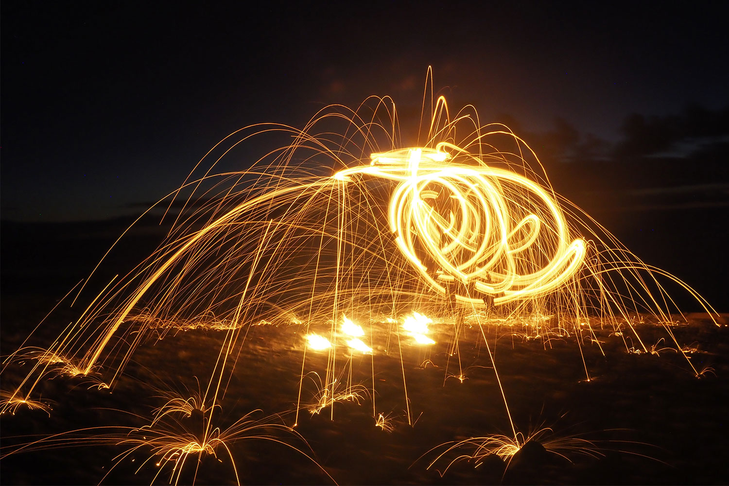
Bailando Fuego: Feuertanz von Monika Hamelmann am Strand von La Puntilla . Valle Gran Rey . La Gomera . Kanarische Inseln 2018 (Foto: Andreas Kuhrt)
Abends zum Sonnenuntergang gibts am Strand Kulturprogramm: Getrommel... (Foto: Andreas Kuhrt)
Bailando Fuego: Feuertanz von Monika Hamelmann am Strand von La Puntilla . Valle Gran Rey . La Gomera . Kanarische Inseln 2018 (Foto: Andreas Kuhrt)
und manchmal Lichtshow: Monika Hamelmann mit Hula-Hoop und... (Foto: Andreas Kuhrt)
Bailando Fuego: Feuertanz von Monika Hamelmann am Strand von La Puntilla . Valle Gran Rey . La Gomera . Kanarische Inseln 2018 (Foto: Andreas Kuhrt)
Bailando... (Foto: Andreas Kuhrt)
Bailando Fuego: Feuertanz von Monika Hamelmann am Strand von La Puntilla . Valle Gran Rey . La Gomera . Kanarische Inseln 2018 (Foto: Andreas Kuhrt)
Fuego... (Foto: Andreas Kuhrt)
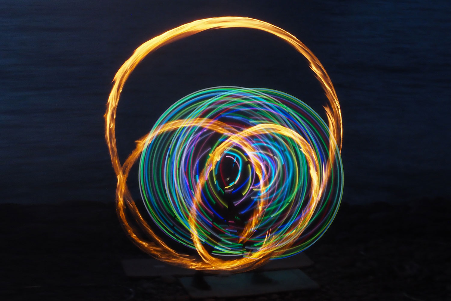
Bailando Fuego: Feuertanz von Monika Hamelmann am Strand von La Puntilla . Valle Gran Rey . La Gomera . Kanarische Inseln 2018 (Foto: Andreas Kuhrt)
rasanter Feuertanz... (Foto: Andreas Kuhrt)
Bailando Fuego: Feuertanz von Monika Hamelmann am Strand von La Puntilla . Valle Gran Rey . La Gomera . Kanarische Inseln 2018 (Foto: Andreas Kuhrt)
Monika Sylvia Hamelmann, eine deutsche Lebenskünstlerin (macht auch Percussion, Straßenmusik, Massage...) aus Coesfeld, die in El Guro lebt (und deren Haus zu den ca. 30 2012 abgebrannten gehörte, für eine Feuertänzerin wahrscheinlich ganz schön bitter) (Foto: Andreas Kuhrt)
Bailando Fuego: Feuertanz von Monika Hamelmann am Strand von La Puntilla . Valle Gran Rey . La Gomera . Kanarische Inseln 2018 (Foto: Andreas Kuhrt)
Zum Schluss der tollen Feuershow gings noch mal richtig rund... (Foto: Andreas Kuhrt)
Bailando Fuego: Feuertanz von Monika Hamelmann am Strand von La Puntilla . Valle Gran Rey . La Gomera . Kanarische Inseln 2018 (Foto: Andreas Kuhrt)
und kreuz und quer... (Foto: Andreas Kuhrt)
Bailando Fuego: Feuertanz von Monika Hamelmann am Strand von La Puntilla . Valle Gran Rey . La Gomera . Kanarische Inseln 2018 (Foto: Andreas Kuhrt)
Finale furioso am Strand von La Puntilla/Valle Gran Rey (Foto: Andreas Kuhrt)
Bailando Fuego: Feuertanz von Monika Hamelmann am Strand von La Puntilla . Valle Gran Rey . La Gomera . Kanarische Inseln 2018 (Foto: Andreas Kuhrt)
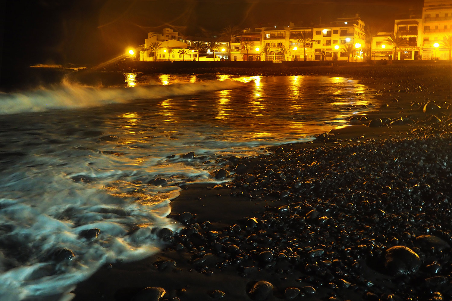
La Playa (nachts) . Valle Gran Rey . La Gomera . Kanarische Inseln 2018 (Foto: Andreas Kuhrt)
Um 1 ist aber Nachtruhe am Strand bei La Playa (Foto: Andreas Kuhrt)
La Playa (nachts) . Valle Gran Rey . La Gomera . Kanarische Inseln 2018 (Foto: Andreas Kuhrt)

Tour La Gomera: Valle Gran Rey: La Calera 2018

Teneriffa El Hierro La Gomera 1 2 3 4 5 6 7 8 9 10

Eine Tagesreise von El Hierro zum Valle Gran Rey auf La Gomera

Nach 10 tollen Wandertagen auf El Hierro war unser nächstes Ziel La Gomera, die als deutsche Wanderinsel der Kanaren schlechthin gilt. Vor rund 25 Jahren waren wir schon mal dort und sind aufs Geratewohl losgelaufen: San Sebastian – Santiago – Alajeró – Chipude – Hermigua. Jetzt wollten wir sehen, wie es sich verändert hat und Gegenden erkunden, wo wir noch nicht waren. Weil es im Dezember 1992 wegen der Weihnachtsbesuche der Auswanderer unmöglich war, im Valle Gran Rey eine Unterkunft zu finden (wir sind dann in Chipude hängen geblieben), wollten wir dies mal zu diesem „Sehnsuchtsort“ deutscher Hippies und Wanderer und haben uns eine private Ferienwohnung in La Calera, dem Hauptort des Valle Gran Rey, gebucht. Die Reise von El Hierro zur nur 60 km entfernten Insel La Gomera ist aber nicht ganz einfach, sondern dauert mit Flug, Auto und Fähre fast den ganzen Tag.

Erst mal die Fähre nach San Sebastián de la Gomera schaffen

Während des Flugs von von El Hierro nach Teneriffa kommt man unterwegs an der Westküste von La Gomera beim Valle Gran Rey vorbei – unserem nächsten Ziel. Leider kann man nicht nach 20 Minuten abspringen, sondern braucht noch einen halben Tag, um von Teneriffas Nordflugplatz bei La Laguna irgendwie ins knapp 100 km entfernte Los Cristianos im Südwesten zu kommen, wo die Fähren nach La Gomera abgehen. Also kann man sich erst noch mal den höchsten Berg Spaniens, den Teide (3718 m) auf Augenhöhe ansehen, fliegt ziemlich nah über die Hauptstadt Santa Cruz nach La Laguna. Mit dem Taxi braucht man etwa 1 Stunde nach Los Cristianos, aber nur wenn der Fahrer auf die Tube drückt, die Autobahn halbwegs frei ist und man ohne große Staus durch Los Cristianos kommt. Das hat unser Fahrer irgendwie geschafft – Danke! Noch schnell die Rucksäcke in die letzten Lücken der extra Gepäckwagen stopfen und die riesige Fähre „Benchijigua Express“ von Fred. Olson entern (beim Bau des Trimarans 2003/04 in Australien war es das größte Aluminiumschiff der Welt). Leider hatten wir vor der Abfahrt nicht viel Zeit zum Gucken, so dass wir gar nicht wußten, was für ein futuristisches Teil dieses Schiff ist. Mit drei Wasserstrahlantrieben (Höchstgeschwindigkeit 40,5 kn = 75 km/h) bringt einen die Fähre in etwa 50 Minuten über die knapp 40 km breite Meerenge nach Gomera. Bei so schönem Wetter ist die Anfahrt an die zerfurchte Steilküste und das Anlegen im kleinen Hafen von San Sebastián de la Gomera ein tolles Erlebnis. Dort muss der „Fährmann“ den 126 m langen Kahn zentimetergenau rückwärts einparken, um an das Fährterminal anzudocken. Gegenüber dem Touristenmoloch Los Cristianos/Playa de las Americas/Costa Adeje auf Teneriffa (krasser Kulturschock nach El Hierro) wirkt San Sebastián geradezu idyllisch mit dem kleinen Yachthafen vor der Steilwand und den bunten Häusern, die sich an den Hängen des Barranco de la Villa hoch ziehen. Die Ankunft so einer großen Fähre ist ein Erlebnis für sich (da passen bis 1300 Leute drauf, aber so viele waren es nicht): zuerst stürzen sich alle Passagiere auf die Gepäckwagen, um ihre Koffer schon mal sicher zu haben. Dann gehts darum, den richtigen Reiseveranstalter mit dem richtigen Bus zu finden oder als Erste bei der Autovermietung zu sein – Urlaub ist kein Spaß.

Zum Valle Gran Rey

Wir haben unseren Leihwagen auch noch bekommen und sind auf der Straße GM-2 Richtung Nationalpark Garajonay gefahren. Auf etwa 25 km windet sich die Hochlandstraße auf knapp 1400 m Höhe unterhalb des höchsten Berges Gomeras, dem Garajonay (1482 m). Die nächsten 25 km nach Valle Gran Rey gehts genau so kurvig wieder abwärts bis auf Meereshöhe. Deshalb braucht man mindestens eine Stunde Fahrzeit – wir natürlich noch etwas länger, weil es unterwegs tolle Aussichtspunkte über die fantastische Berg- und Barrancolandschaft von Gomera gibt: z.B. der Mirador Lomada del Camello (Kamelhöcker) oder Sombrero (Hut) mit Blick nach San Sebastian.
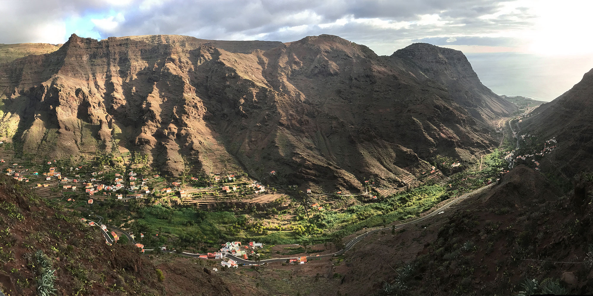
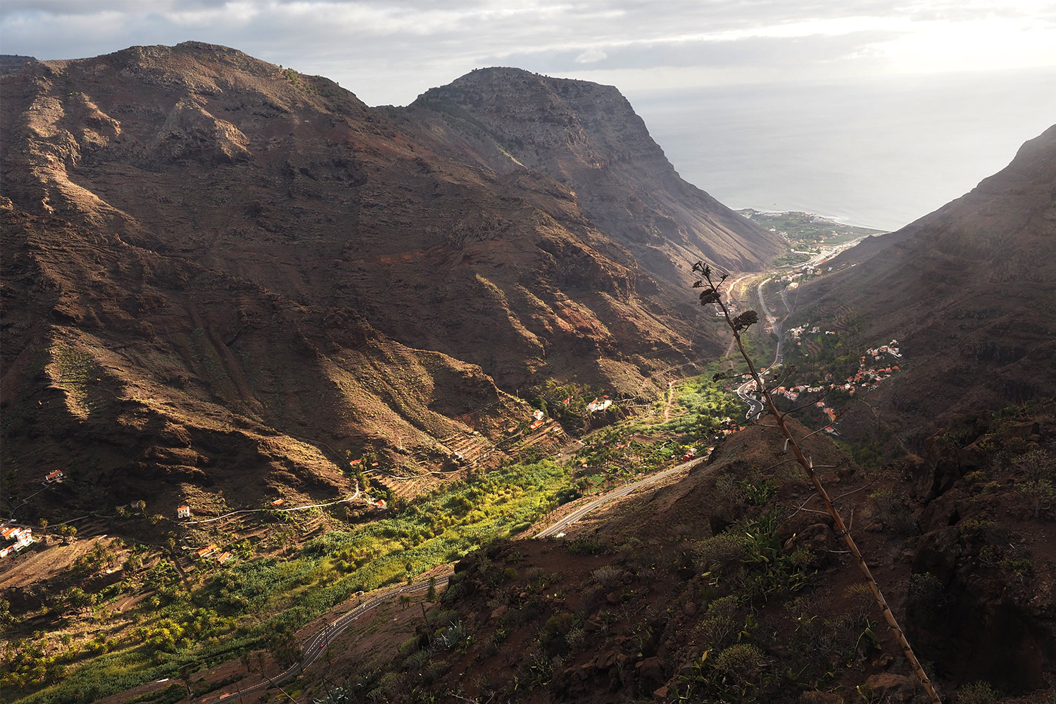
Barrancos (Schluchten) sind die ausgeprägten Erosionstäler und Canyons, die die annähernd runde Insel vom zentralen Hochland zu den Küsten durchziehen. Weil die vulkanische Insel schon vor ca. 11 Millionen Jahren entstanden ist, haben Wind, Wasser und Wetter viel mehr Zeit gehabt (als z.B. auf El Hierro: 1,2 Mio. Jahre), am Profil herumzuschnitzen. La Gomera hat deshalb im Zentrum ein relativ ebenes Hochplateau mit dem größten zusammenhängenden Lorbeer-Baumheide-Wald der Erde und zu den Küsten hin eine krass zerfurchte Vulkanlandschaft mit bis zu 700 m tief eingeschnittenen Tälern (auf dem 127 km langen Inselrundweg GR-132 kommen über 9100 Höhenmeter Auf- und Abstieg zusammen).
Nach etwa 20 Straßenkilometern (von San Sebastian) passiert man im Hochland den Roque de Agando (1251 m): ein etwa 100 m über die Umgebung aufragender imposanter Zuckerhut-Felsen. Die Roques sind alte Vulkanschlote, deren harter Basaltkern der Erosion länger widerstanden hat als der umgebende ehemalige Vulkankegel.
Nach den Roques führt die Straße am Rand des Nationalparks Garajonay (UNESCO-Weltnaturerbe seit 1986) durch den Lorbeer-Baumheide-Nebelwald im Zentrum Gomeras. An manchen dürren Waldgebieten sieht man deutlich die Spuren des verheerenden Waldbrandes von 2012. Insgesamt bildet der Nationalpark ein etwa 4000 ha Gebiet mit ursprünglichem immergrünen Nebelwald, den man auf vielen Wanderwegen erkunden kann, z.B. vom zentralen Erholungsgebiet Laguna Grande aus, an dem die Zentralstraße auch vorbeiführt. Kurz nach dem Cruce de Pajaritos (Vögelkreuzung) passiert man am Fuß des Garajonay (Alto de Garajonay 1482 m) den höchsten Punkt der Straße auf etwa 1370 m. Nach etwa 15 km durch den Wald kommt man bei Arcadece/Arure im Inselwesten wieder in die offene steppenartige Vulkanlandschaft. Nach dem ruhigen Bergdorf Arure (auf 825 m Höhe) führt die neu (mit Tunneln) ausgebaute Straße über rund 7 km ins obere Valle Gran Rey bei Retamal + 4 km bis zur Küste bei La Playa. Unterwegs wurden in Haarnadelkurven spektakuläre Aussichtspunkte ins Valle Gran Rey angelegt: Mirador del Palmarejo (1989 gestaltet von César Manrique) und Mirador de la Curva del Queso (Käsekurve).

Das etwa 5 km lange Valle Gran Rey (Tal des Großen Königs Hupalupa) zur Westküste La Gomeras ist eine der schönsten Regionen der Insel. Im 15. Jh. war es das Orone-Stammesgebiet der Guanchen-(Benahoares)-Urbevölkerung (wahrscheinlich Anfang der Zeitrechnung eingewanderte Berber aus Nordafrika, die in einer steinzeitlichen Clangemeinschaft lebten) mit dem Anführer Hupalupa. Nach der Besetzung durch spanische Kolonialherren wurde der Aufstand gegen den tyrannischen Grafen von Gomera Hernán Peraza (1488 wurde er bei einem Treffen mit seiner geliebten Guanchin Yballa durch Hautacuperche ermordet) grausam gerächt: Alle Männer ab 15 Jahre sollten getötet werden, Frauen und Kinder wurden als Sklaven verkauft.

Zwischen 600 bis 800 m hohen Bergrücken geschützt, konnte sich im quellwasserversorgten Tal ein fruchtbares Siedlungsgebiet entwickeln. Die terrassierten Felder mit Palmenhainen, Bananenplantagen, Obst- und Gemüsegärten ziehen sich von Los Descansaderos am oberen Talende (auf etwa 450 m Höhe) bis zur Küste bei La Playa. In den 1970/80er Jahren war das noch nicht so touristisch erschlossene Valle Gran Rey ein Rückzugsort für „Aussteiger“ und „Hippies“ (ähnlich dem indischen Goa und Kathmandu), die ein konventionsfreies naturverbundenes Leben führen wollten. Inzwischen hat sich das Valle Gran Rey zum touristische Hauptziel von La Gomera entwickelt mit einigen krassen Touristenburgen an der Küste, aber immer noch dörflichen Orten im Hinterland. Typisch ist die Aneinanderreihung vieler kleiner Siedlungen im Barranco und an den Talhängen: Los Descansaderos, Lomo de Balo, La Viscaína, El Retamal und El Hornillo im oberen nordöstlichen Talschluss, Lomo del Moral, Los Granados, Chelé, El Guro, Casa de la Seda im Mitteltal und La Calera, La Playa, Borbalán, La Puntilla und Vueltas am Talausgang zur Atlantikküste (insgesamt mehr als 15 Siedlungen mit ca. 4500 Einwohner). Gomera und besonders das Valle Gran Rey ist das Lieblingsziel deutscher Wandersenioren (so wie wir), aber es ist nicht übermäßig massentouristisch verunstaltet.

La Calera

ist einer der Hauptorte des Valle Gran Rey (seit 1950 Verwaltungssitz). Der Ort liegt am Talausgang zum Meer, aber noch nicht an der Küste. Kleine verwinkelte Gassen und Treppenwege ziehen am Berghang des Mérica hoch. Die terrassenartig am Hang gebauten Häuser bieten beste Aussicht ins Tal und zur Küste. Teilweise wurden schon große, blöde Apartmenthäuser gebaut, aber insgesamt blieb der Eindruck eines historisch gewachsenen Ortes erhalten. Unsere Ferienwohnung für 4 Tage Casa Buena Vista war das oberste „Adlernest“ einer kleinen privaten Wohnanlage (der österreichische Vermieter wohnt manchmal auch selber dort) mit viel Platz, Licht, Luft und fantastischer Aussicht (dafür muss man auch mal ein paar Treppen steigen, insgesamt etwa 100 Stufen auf dem Camino El Picacho). Hinter der Wohnung fängt die „Wildnis“ des Mérica-Berges an und der Einstieg zum Wanderweg Camino la Mérica nach Arure war nur 100 m entfernt. In La Calera gibts jede Menge Apartamentos, 4 Restaurants (die meist gut besucht sind), 3 kleine Supermercados, 2 Kirchen (die kleine Ermita San Salvador und die moderne Parroquia Los Santos Reyes), ein Krankenhaus, eine Bank und eine Tankstelle. Die Küste mit einigen Sand- und Geröllstränden, wo in den Orten La Playa, La Puntilla, Borbalán und Vueltas der Touristenbär steppt, ist etwa 1 km entfernt, also nah genug, um hinzulaufen, aber weit genug weg, um seine Ruhe zu haben.